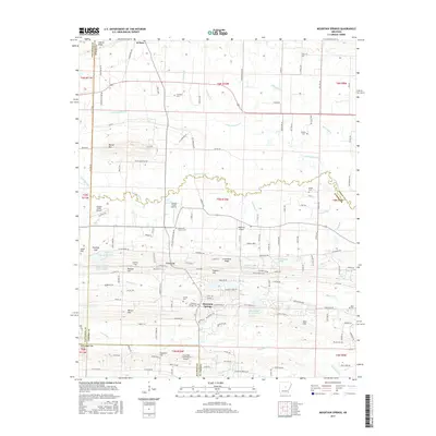
2017 Map of Mountain Springs
USGS Topo · Published 2017About this map
Mountain Springs and El Paso anchor this survey of the Arkansas interior, where the landscape is defined by the winding course of Cypress Bayou and its many tributaries like Little Cypress Cr. The settlement pattern follows the drainage and ridges, with family and community identity clearly marked by numerous burial grounds including Grizzard Cem, Massey Cem, and the Sixteenth Section Cem. This area north of Cabot demonstrates a reliance on small-scale aviation, evidenced by several private landing strips such as Cypress Creek Airport, Dogwood Airport, and Four Mile Creek Ranch Airport. The topography is punctuated by local heights such as Ballard Hill, Haymes Hill, and Wilson Hill, which rise above the creek bottoms and gaps like Poland Gap. This map provides a detailed view of the rural infrastructure and land divisions across the White, Lonoke, and Faulkner county lines as they existed in the late 2010s.
Find a feature on this map
166 named features on this map. Tap any name to fly to it.
Don’t see what you’re looking for? This feature index may not catch every label — zoom into the map to look around manually.
Map Details
Editions of this 2017 Mountain Springs Map
This is the sole edition of this map. No revisions or reprints were ever made.
Other maps of this area

1891 · Little Rock
USGS Topo · 1:125,000

1893 · Little Rock
USGS Topo · 1:125,000

1940 · Lonoke
USGS Topo · 1:62,500

1941 · Olmstead
USGS Topo · 1:31,680

1941 · Cabot
USGS Topo · 1:31,680

1948 · Helena
USGS Topo · 1:250,000

1949 · Lonoke
USGS Topo · 1:62,500

1950 · Helena
USGS Topo · 1:250,000

1950 · Lonoke
USGS Topo · 1:62,500

1953 · Memphis
USGS Topo · 1:250,000