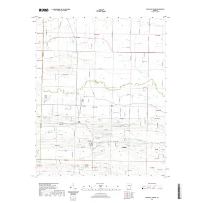
2020 Map of Mountain Springs
USGS Topo · Published 2020About this map
Mountain Springs and El Paso anchor this survey of central Arkansas, where the landscape transitions from the higher elevations of Cadron Ridge and Round Mtn in the north to the lower drainage basins of Cypress Bayou and Fourmile Cr in the south. The area is characterized by a dense network of country roads and small airfields, including the Cypress Creek Airport and Dogwood Airport, reflecting the region's low-density residential and agricultural character.
Find a feature on this map
152 named features on this map. Tap any name to fly to it.
Don’t see what you’re looking for? This feature index may not catch every label — zoom into the map to look around manually.
Map Details
Editions of this 2020 Mountain Springs Map
This is the sole edition of this map. No revisions or reprints were ever made.
Other maps of this area

1891 · Little Rock
USGS Topo · 1:125,000

1893 · Little Rock
USGS Topo · 1:125,000

1940 · Lonoke
USGS Topo · 1:62,500

1941 · Olmstead
USGS Topo · 1:31,680

1941 · Cabot
USGS Topo · 1:31,680

1948 · Helena
USGS Topo · 1:250,000

1949 · Lonoke
USGS Topo · 1:62,500

1950 · Helena
USGS Topo · 1:250,000

1950 · Lonoke
USGS Topo · 1:62,500

1953 · Memphis
USGS Topo · 1:250,000