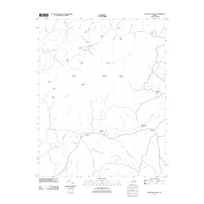
2011 Map of Mountain Valley
USGS Topo · Published 2011About this map
Turkeycock Mountain and Little Mountain dominate this corner of Pittsylvania County, where the landscape is defined by the high ridges and the numerous watercourses that drain them. The network of family-named cemeteries, such as Lovell-Yeatts Cemetery and the Walker-Rigney Cemetery, points to generations of deep-rooted local history in settlements like Mountain Valley and Vashti. The area's early industrial and agricultural history is visible through landmarks like Swansons Mill and Hodges Mill, which utilized the flow of creeks like Turkeycock Creek and Grassy Fork. From the high vantage point of the Turkeycock Lookout Tower, the terrain unfolds toward the West Fork Sandy River, illustrating a pattern of development where small communities and family farms clustered along the winding valley roads and creek branches.
Find a feature on this map
81 named features on this map. Tap any name to fly to it.
Don’t see what you’re looking for? This feature index may not catch every label — zoom into the map to look around manually.
Map Details
Editions of this 2011 Mountain Valley Map
This is the sole edition of this map. No revisions or reprints were ever made.
Other maps of this area

1922 · Callands
USGS Topo · 1:48,000

1924 · Martinsville
USGS Topo · 1:48,000

1924 · Draper
USGS Topo · 1:48,000

1924 · Callands
USGS Topo · 1:62,500

1925 · Rocky Mount
USGS Topo · 1:48,000

1926 · Martinsville
USGS Topo · 1:62,500

1926 · Draper
USGS Topo · 1:62,500

1927 · Rocky Mount
USGS Topo · 1:62,500

1927 · Martinsville
USGS Topo · 1:62,500

1944 · Martinsville
USGS Topo · 1:62,500