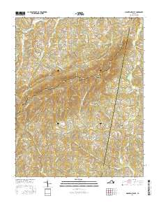
2016 Map of Mountain Valley
USGS Topo · Published 2016About this map
Turkeycock Mountain and its complex network of ridges and gaps dominate this portion of the Virginia piedmont. The landscape is dotted with small family burial grounds and community landmarks such as Boones Chapel Cemetery and Walker-Rigney Cemetery, reflecting a long-established rural settlement pattern. The terrain forces a distinct orientation of roads and communities, with Vashti and Turkey Fork situated along the high ground and gaps, while centers like Swansons Mill and Grady occupy the more level ground near Turkeycock Creek. This 2016 survey illustrates the persistent agricultural and forestry character of the region where Franklin, Henry, and Pittsylvania counties meet. Notable elevations like Hickory Knob and Robertson Mountain rise above the drainage systems of Snow Creek and Flippins Creek, which have shaped the movement of people and commerce through Double Oaks Gap for generations.
Find a feature on this map
95 named features on this map. Tap any name to fly to it.
Don’t see what you’re looking for? This feature index may not catch every label — zoom into the map to look around manually.
Map Details
Editions of this 2016 Mountain Valley Map
This is the sole edition of this map. No revisions or reprints were ever made.
Other maps of this area

1922 · Callands
USGS Topo · 1:48,000

1924 · Martinsville
USGS Topo · 1:48,000

1924 · Draper
USGS Topo · 1:48,000

1924 · Callands
USGS Topo · 1:62,500

1925 · Rocky Mount
USGS Topo · 1:48,000

1926 · Martinsville
USGS Topo · 1:62,500

1926 · Draper
USGS Topo · 1:62,500

1927 · Rocky Mount
USGS Topo · 1:62,500

1927 · Martinsville
USGS Topo · 1:62,500

1944 · Martinsville
USGS Topo · 1:62,500