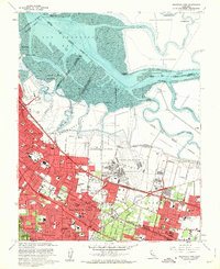
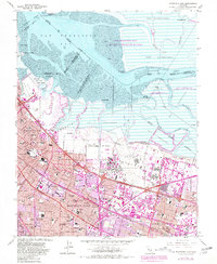
1961 Map of Mountain View
USGS Topo · Published 1962About this map
Naval Air Station Moffett Field and the adjacent Ames Research Center dominate the landscape of the South Bay during this era of rapid suburban and aerospace expansion. The map illustrates a transitional period where industrial Salt Evaporators and winding sloughs like Mowry Slough meet the burgeoning residential grids of Mountain View, Palo Alto, and Sunnyvale. Transportation infrastructure is a central theme, with the Southern Pacific railroad and Bayshore Freeway cutting through the Santa Clara Valley, while the Hetch Hetchy Aqueduct delivers water to the growing population. Numerous local landmarks are identified, from the Murphy House and Castro City to a dense network of neighborhood schools like Crittenden Sch and Fairoaks Sch, reflecting the postwar family-oriented growth that would eventually define Silicon Valley.
Find a feature on this map
87 named features on this map. Tap any name to fly to it.
Don’t see what you’re looking for? This feature index may not catch every label — zoom into the map to look around manually.
Map Details
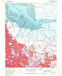
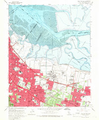
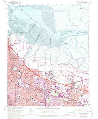
Editions of this 1961 Mountain View Map
5 editions found
Other maps of this area

1889 · San Jose
USGS Topo · 1:62,500

1897 · San Jose
USGS Topo · 1:62,500

1897 · Palo Alto
USGS Topo · 1:62,500

1899 · San Jose
USGS Topo · 1:62,500

1899 · Palo Alto
USGS Topo · 1:62,500

1899 · Haywards
USGS Topo · 1:62,500

1902 · Santa Cruz
USGS Topo · 1:125,000

1906 · Pleasanton
USGS Topo · 1:62,500

1915 · Haywards
USGS Topo · 1:62,500

1941 · Pleasanton
USGS Topo · 1:62,500