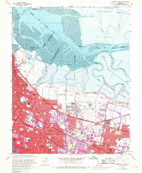
1961 Map of Mountain View
USGS Topo · Published 1961About this map
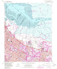
Naval Air Station Moffett Field and the adjacent Ames Research Center dominate the shoreline landscape in this early 1960s survey of the South Bay. This era captures the rapid suburban expansion of Palo Alto, Mountain View, and Sunnyvale, where purple-tinted revisions highlight new urban growth reaching toward the salt marshes. The infrastructure of the mid-century Peninsula is clearly visible, from the Southern Pacific rail lines and the Bayshore Freeway to the Hetch Hetchy Aqueduct cutting through the residential blocks. Along the edge of the San Francisco Bay, a complex network of salt evaporators and sloughs like Guadalupe Slough meet landmarks such as Cooley Landing and the Yacht Club. The map provides significant genealogical value, noting numerous local institutions like Alta Mesa Cem, Castro City, and several schools including Cubberley High Sch and St Josephs Sch.
Find a feature on this map
105 named features on this map. Tap any name to fly to it.
Don’t see what you’re looking for? This feature index may not catch every label — zoom into the map to look around manually.
Map Details
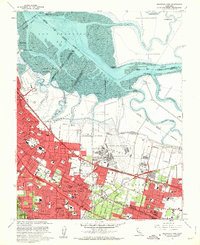
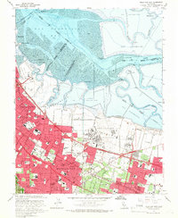
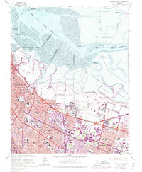
Editions of this 1961 Mountain View Map
5 editions found
Other maps of this area

1889 · San Jose
USGS Topo · 1:62,500

1897 · San Jose
USGS Topo · 1:62,500

1897 · Palo Alto
USGS Topo · 1:62,500

1899 · San Jose
USGS Topo · 1:62,500

1899 · Palo Alto
USGS Topo · 1:62,500

1899 · Haywards
USGS Topo · 1:62,500

1902 · Santa Cruz
USGS Topo · 1:125,000

1906 · Pleasanton
USGS Topo · 1:62,500

1915 · Haywards
USGS Topo · 1:62,500

1941 · Pleasanton
USGS Topo · 1:62,500