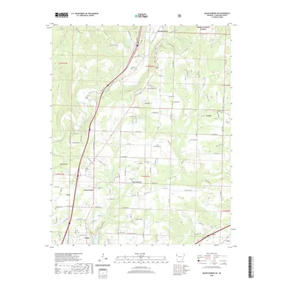
2020 Map of Mountainburg SW
USGS Topo · Published 2020About this map
Alma and the surrounding hill country of Crawford County are defined by the winding drainages of Frog Bayou and Little Frog Bayou. This 2020 topographic study reveals a landscape where modern development meets established rural history, particularly evident in the high density of family and community burial sites like Wynn Graveyard, Hatfield Cem, and Deans Cem. The settlement pattern follows the terrain, with clusters of activity at Dean Springs, Cain, and Rudy.
Find a feature on this map
135 named features on this map. Tap any name to fly to it.
Don’t see what you’re looking for? This feature index may not catch every label — zoom into the map to look around manually.
Map Details
Editions of this 2020 Mountainburg SW Map
This is the sole edition of this map. No revisions or reprints were ever made.
Other maps of this area

1879 · Fort Smith
USGS Topo · 1:62,500

1887 · Van Buren
USGS Topo · 1:62,500

1890 · Fort Smith
USGS Topo · 1:125,000

1898 · Winslow #4
USGS Topo · 1:62,500

1898 · Winslow #3
USGS Topo · 1:62,500

1898 · Winslow
USGS Topo · 1:125,000

1901 · Winslow
USGS Topo · 1:125,000

1906 · Lavaca
USGS Topo · 1:62,500

1943 · Fort Smith
USGS Topo · 1:125,000

1946 · Fort Smith
USGS Topo · 1:250,000