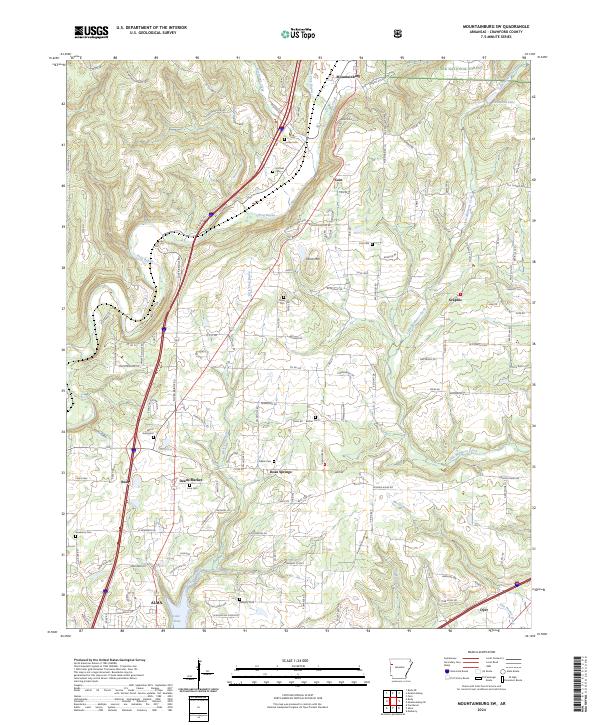
2024 Map of Mountainburg SW
USGS Topo · Published 2024About this map
Alma and Rudy anchor this landscape where the Arkansas hills meet the edges of the Ozark National Forest. The geography is defined by the winding course of Frog Bayou and its numerous tributaries, including Little Frog Bayou and Hurricane Creek, which carve through the terrain near Winn Mountain. Small settlements like Cain, Graphic, and Dean Springs are scattered throughout the region, often centered around family-named landmarks and local hubs like Deans Market.
Find a feature on this map
143 named features on this map. Tap any name to fly to it.
Don’t see what you’re looking for? This feature index may not catch every label — zoom into the map to look around manually.
Map Details
Editions of this 2024 Mountainburg SW Map
This is the sole edition of this map. No revisions or reprints were ever made.
Historical Maps of Cain Through Time
12 maps found

1898 Winslow #3
Crawford County, AR

1898 Winslow #4
Crawford County, AR
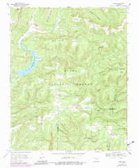
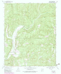
1969 Fern
Crawford County, AR
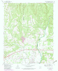
1969 Mountainburg SE
Crawford County, AR
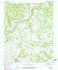
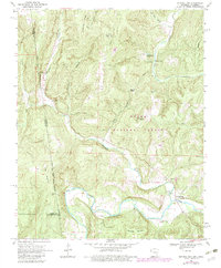
1969 Mountainburg SW
Crawford County, AR
1969 Natural Dam
Crawford County, AR
1970 Rudy NE
Crawford County, AR
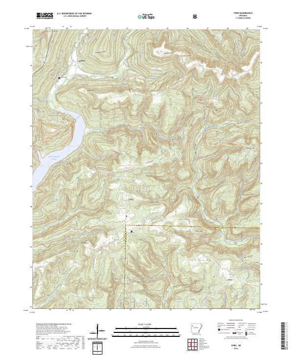
2024 Fern
Crawford County, AR
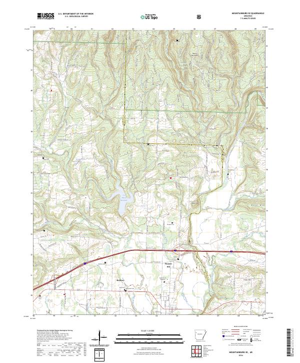
2024 Mountainburg SE
Crawford County, AR
2024 Mountainburg SW
Crawford County, AR
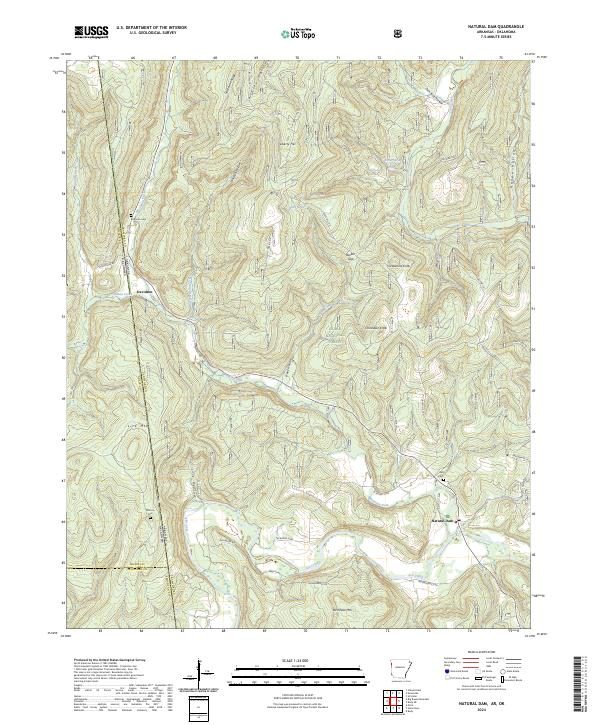
2024 Natural Dam
Crawford County, AR
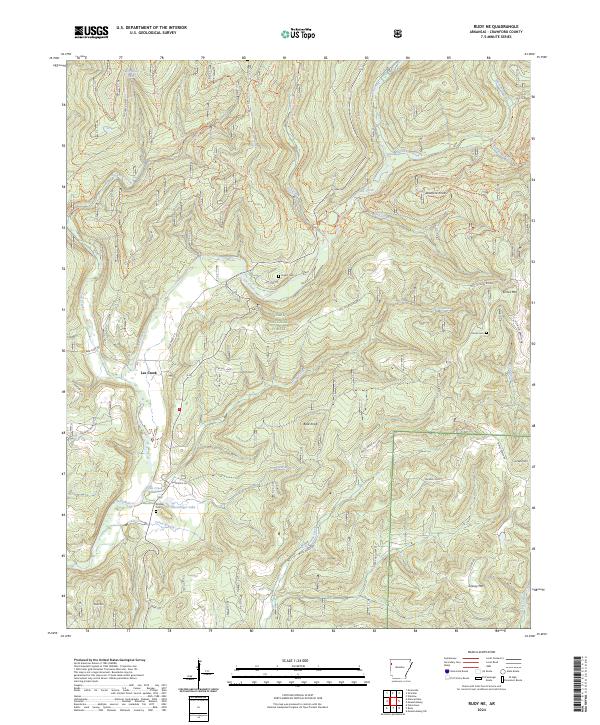
2024 Rudy NE
Crawford County, AR