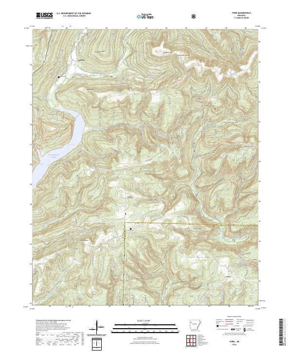
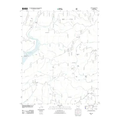
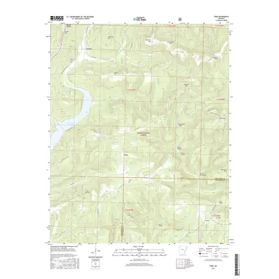
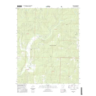
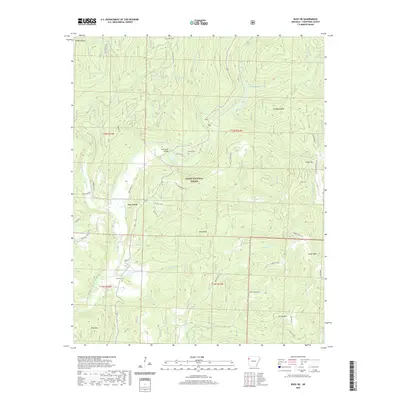
2024 Map of Fern
USGS Topo · Published 2024About this map
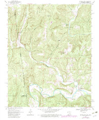
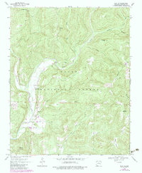
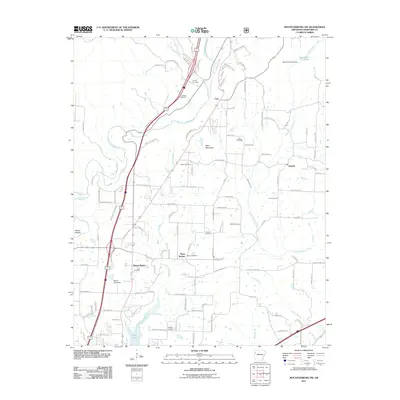
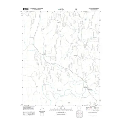
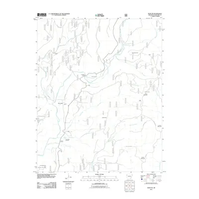
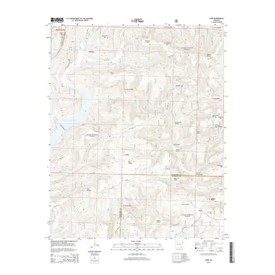
The Ozark National Forest dominates this landscape in northern Arkansas, where the ridges of Patrick Mtn and Henderson Mtn rise above deep-cut drainages. Small settlements like Locke and Fern persist along the winding road network, while the northern reaches include the community of Winfrey near the waters of Frog Bayou. This 2024 survey documents a terrain defined by narrow gaps and hollows, such as Rattlesnake Hollow and Gabbard Hollow, which have long dictated the movement of people and livestock through the mountains.
Find a feature on this map
103 named features on this map. Tap any name to fly to it.
Don’t see what you’re looking for? This feature index may not catch every label — zoom into the map to look around manually.
Map Details
Editions of this 2024 Fern Map
This is the sole edition of this map. No revisions or reprints were ever made.
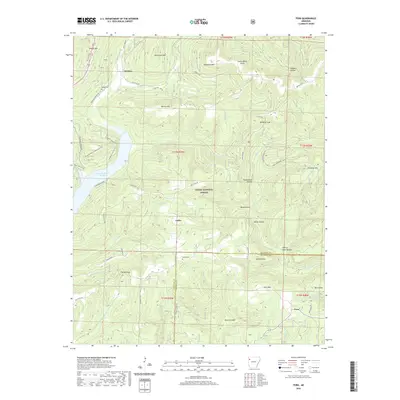
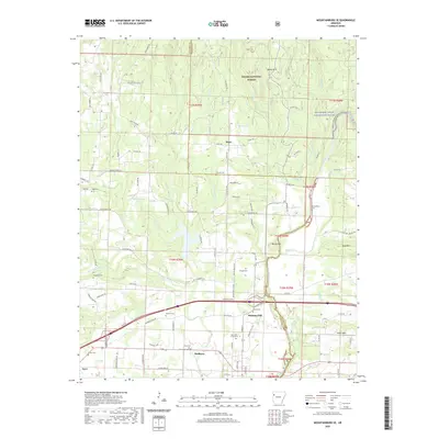
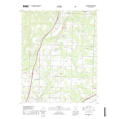
Historical Maps of Locke Through Time
32 maps found

1898 Winslow #3
Crawford County, AR

1898 Winslow #4
Crawford County, AR
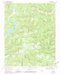
1969 Fern
Crawford County, AR
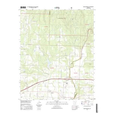
1969 Mountainburg SE
Crawford County, AR
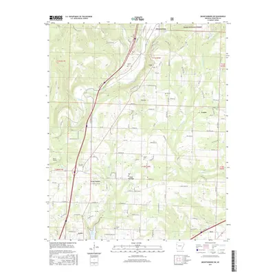
1969 Mountainburg SW
Crawford County, AR
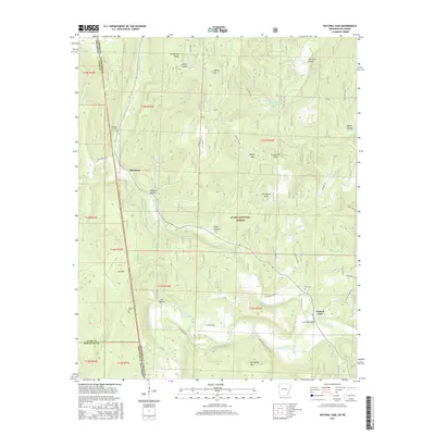
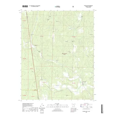
1969 Natural Dam
Crawford County, AR
1970 Rudy NE
Crawford County, AR
2011 Fern
Crawford County, AR
2011 Mountainburg SE
Crawford County, AR
2011 Mountainburg SW
Crawford County, AR
2011 Natural Dam
Crawford County, AR
2011 Rudy NE
Crawford County, AR
2014 Fern
Crawford County, AR
2014 Mountainburg SE
Crawford County, AR
2014 Mountainburg SW
Crawford County, AR
2014 Natural Dam
Crawford County, AR
2014 Rudy NE
Crawford County, AR
2017 Fern
Crawford County, AR
2017 Mountainburg SE
Crawford County, AR
2017 Mountainburg SW
Crawford County, AR
2017 Natural Dam
Crawford County, AR
2017 Rudy NE
Crawford County, AR
2020 Fern
Crawford County, AR
2020 Mountainburg SE
Crawford County, AR
2020 Mountainburg SW
Crawford County, AR
2020 Natural Dam
Crawford County, AR
2020 Rudy NE
Crawford County, AR
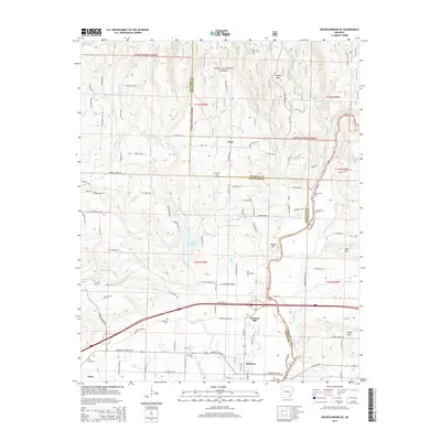
2024 Fern
Crawford County, AR
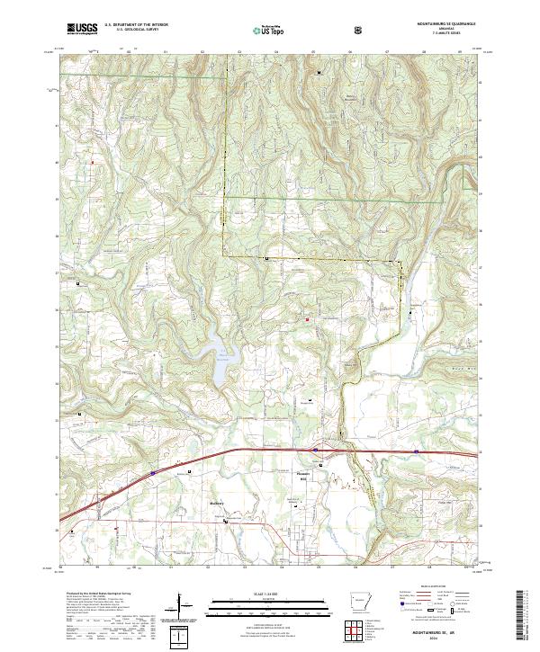
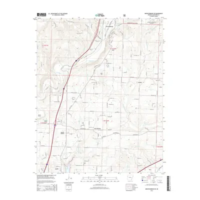
2024 Mountainburg SE
Crawford County, AR
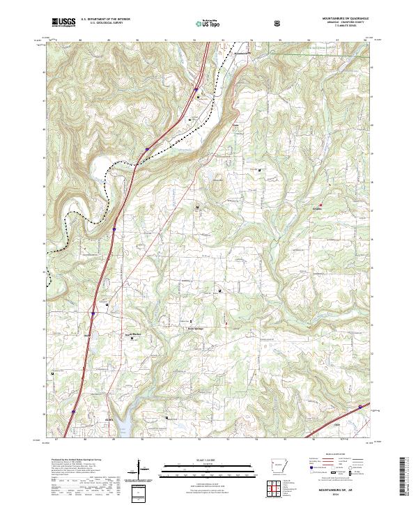
2024 Mountainburg SW
Crawford County, AR
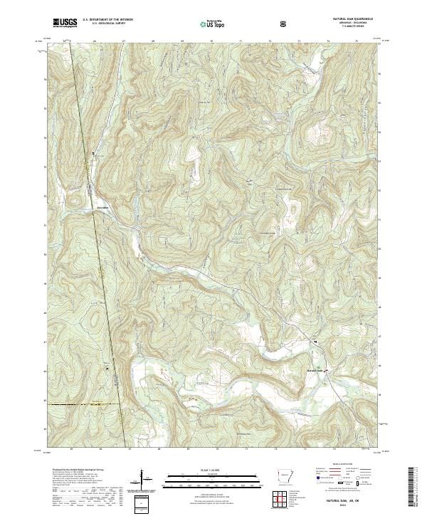
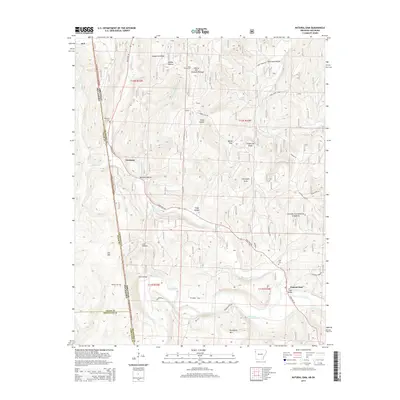
2024 Natural Dam
Crawford County, AR
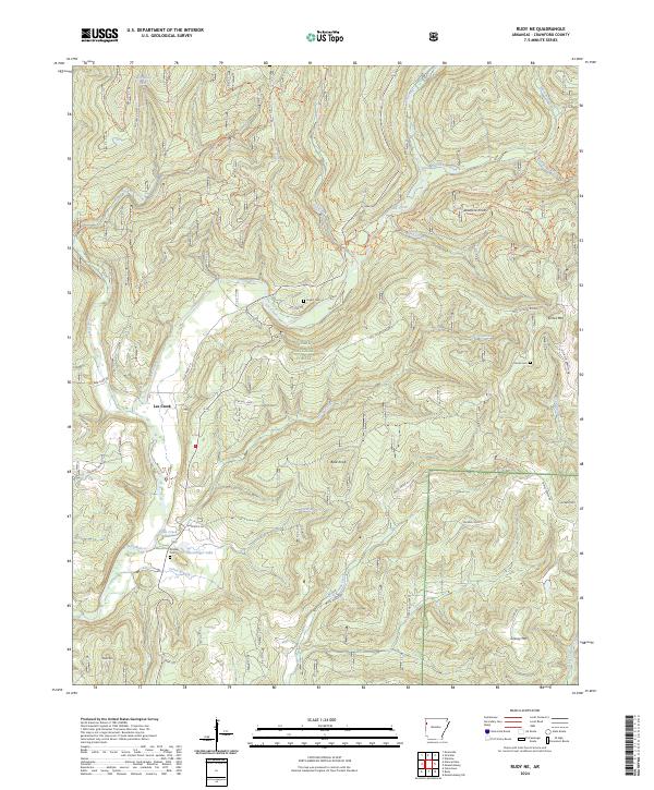
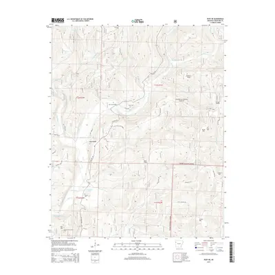
2024 Rudy NE
Crawford County, AR