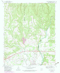
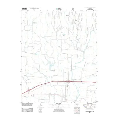
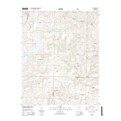
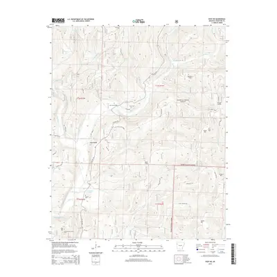
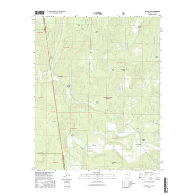
1970 Map of Rudy NE
USGS Topo · Published 1983About this map
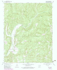
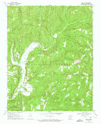
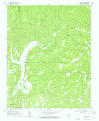
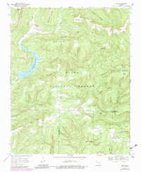
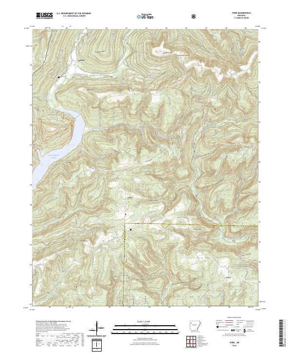
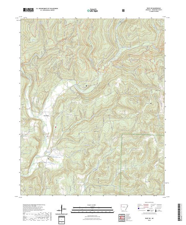
Lee Creek (Cove City) and the small settlement of Larue anchor this portion of the Ozark National Forest during the late 1960s and early 1970s. The landscape is defined by its drainages and prominent ridges, including Bradford Knob and Lockard Mountain. A legacy of rural community life is visible through several family-named burial grounds and local houses of worship, such as Kimbler Cemetery and the Shamrock Church. The presence of Whiskey Spring and Ben Doodle Creek suggests a terrain where water sources shaped early settlement patterns and mountain travel. In the southern reach of the map, a Lookout Tower on Pine Mountain stands as a focal point for forest management, overlooking a network of creeks including West Cedar Creek and Farm Branch. This survey provides an exact record of the forest's boundaries and rural infrastructure before modern development altered the Crawford County backcountry.
Find a feature on this map
30 named features on this map. Tap any name to fly to it.
Don’t see what you’re looking for? This feature index may not catch every label — zoom into the map to look around manually.
Map Details
Editions of this 1970 Rudy NE Map
3 editions found
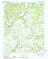
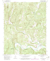
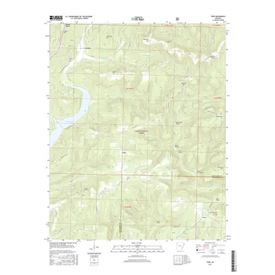
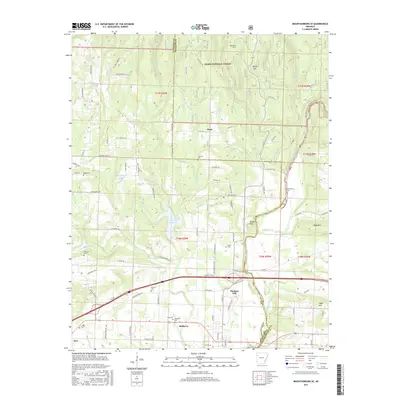
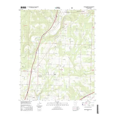
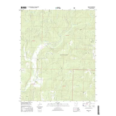
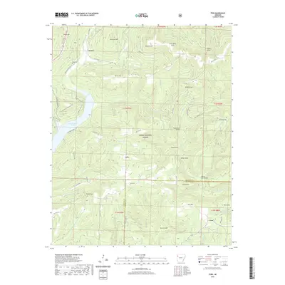
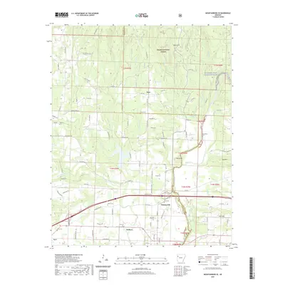
Historical Maps of Lee Creek Through Time
32 maps found

1898 Winslow #3
Crawford County, AR

1898 Winslow #4
Crawford County, AR
1969 Fern
Crawford County, AR
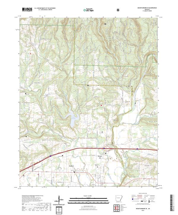
1969 Mountainburg SE
Crawford County, AR
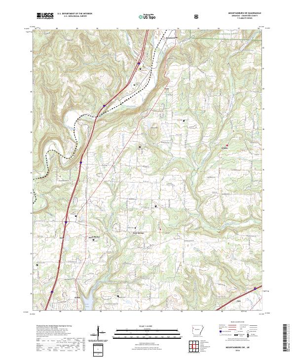
1969 Mountainburg SW
Crawford County, AR
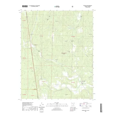
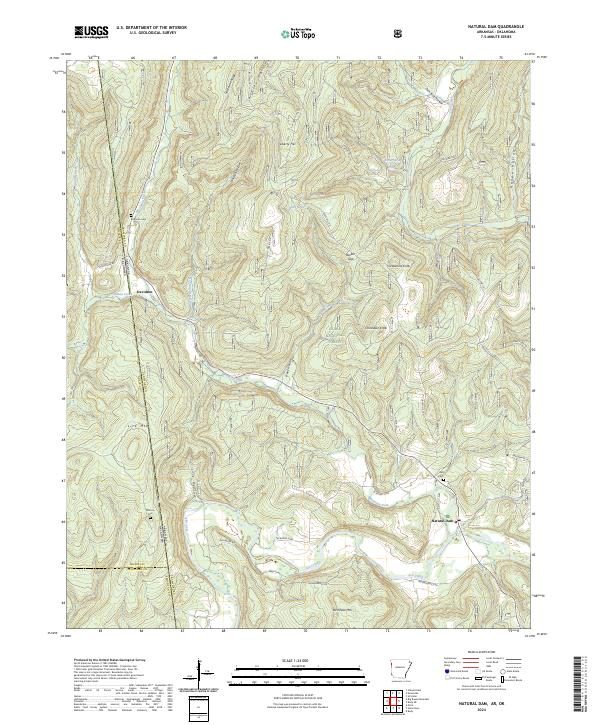
1969 Natural Dam
Crawford County, AR
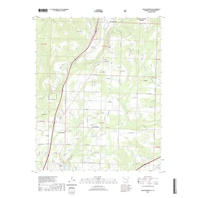
1970 Rudy NE
Crawford County, AR
2011 Fern
Crawford County, AR
2011 Mountainburg SE
Crawford County, AR
2011 Mountainburg SW
Crawford County, AR
2011 Natural Dam
Crawford County, AR
2011 Rudy NE
Crawford County, AR
2014 Fern
Crawford County, AR
2014 Mountainburg SE
Crawford County, AR
2014 Mountainburg SW
Crawford County, AR
2014 Natural Dam
Crawford County, AR
2014 Rudy NE
Crawford County, AR
2017 Fern
Crawford County, AR
2017 Mountainburg SE
Crawford County, AR
2017 Mountainburg SW
Crawford County, AR
2017 Natural Dam
Crawford County, AR
2017 Rudy NE
Crawford County, AR
2020 Fern
Crawford County, AR
2020 Mountainburg SE
Crawford County, AR
2020 Mountainburg SW
Crawford County, AR
2020 Natural Dam
Crawford County, AR
2020 Rudy NE
Crawford County, AR
2024 Fern
Crawford County, AR
2024 Mountainburg SE
Crawford County, AR
2024 Mountainburg SW
Crawford County, AR
2024 Natural Dam
Crawford County, AR
2024 Rudy NE
Crawford County, AR