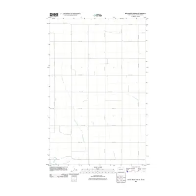
2011 Map of Mouse River Park NE
USGS Topo · Published 2011About this map
Souris River meanders through the southwestern corner of this Renville County landscape, where the prairie is defined by a rigorous grid of section-line roads. This 2011 survey by the U.S. Geological Survey illustrates the intersection of natural drainage and systematic land division, as Sevenmile Coulee cuts a diagonal path across the western half of the quadrangle. In the east, Little Deep Creek drains toward the larger river basin. The map documents a predominantly rural agricultural layout, with primary transit routes like County Rd 2 and Prairie Trl providing the essential framework for a region defined by its expansive fields and occasional farmstead infrastructure.
Find a feature on this map
19 named features on this map. Tap any name to fly to it.
Don’t see what you’re looking for? This feature index may not catch every label — zoom into the map to look around manually.
Map Details
Editions of this 2011 Mouse River Park NE Map
This is the sole edition of this map. No revisions or reprints were ever made.
Other maps of this area

1948 · Mouse River Park NW
USGS Topo · 1:24,000

1949 · Mohall SW
USGS Topo · 1:24,000

1949 · Mouse River Park NW
USGS Topo · 1:24,000

1949 · Sherwood
USGS Topo · 1:24,000

1949 · Mouse River Park NE
USGS Topo · 1:24,000

1949 · Mouse River Park SW
USGS Topo · 1:24,000

1949 · Mouse River Park
USGS Topo · 1:24,000

1950 · Mohall
USGS Topo · 1:62,500
1950 · Mouse River Park
USGS Topo · 1:62,500

1954 · Minot
USGS Topo · 1:250,000