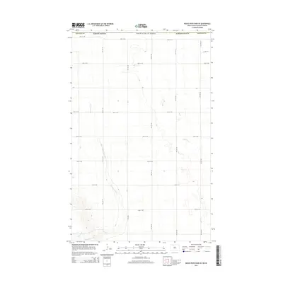
2014 Map of Mouse River Park NE
USGS Topo · Published 2014About this map
Sevenmile Coulee carves through the undulating prairie of north-central North Dakota, defining the drainage patterns of this rural landscape just south of the Canadian border. The terrain is characterized by the expansive glacial till plains typical of Renville County, where a strict section-line grid of roads like 109th St NW and 52nd Ave NW overlays the natural topography. In the southern reach of the map, the Souris River meanders into view, its valley providing a distinct contrast to the surrounding uplands. Small seasonal waterways, including Little Deep Cr, cut across the high plains, illustrating the subtle but essential water network that supported the region's agricultural development. This survey documents the area as it appeared in the early 21st century, showing the enduring structure of the Great Plains' rural infrastructure and natural drainage ways.
Find a feature on this map
22 named features on this map. Tap any name to fly to it.
Don’t see what you’re looking for? This feature index may not catch every label — zoom into the map to look around manually.
Map Details
Editions of this 2014 Mouse River Park NE Map
This is the sole edition of this map. No revisions or reprints were ever made.
Other maps of this area

1948 · Mouse River Park NW
USGS Topo · 1:24,000

1949 · Mohall SW
USGS Topo · 1:24,000

1949 · Mouse River Park NW
USGS Topo · 1:24,000

1949 · Sherwood
USGS Topo · 1:24,000

1949 · Mouse River Park NE
USGS Topo · 1:24,000

1949 · Mouse River Park SW
USGS Topo · 1:24,000

1949 · Mouse River Park
USGS Topo · 1:24,000

1950 · Mohall
USGS Topo · 1:62,500
1950 · Mouse River Park
USGS Topo · 1:62,500

1954 · Minot
USGS Topo · 1:250,000