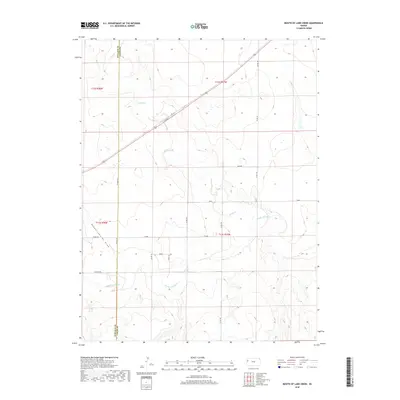
2018 Map of Mouth of Lake Creek
USGS Topo · Published 2018About this map
The Smoky Hill River winds through the southern reaches of this High Plains landscape, where the confluence of several seasonal and perennial waterways dictates the local geography. Significant drainage features like Turkey Cr, Lake Cr, and the specifically named Depperschmidt Draw carve through the terrain, illustrating the hydrologic patterns of Wallace and Logan Counties. The map reveals a strictly organized grid of rural corridors, with named tracks such as Pebble Rd, Outpost Rd, and Rawhide serving as the primary infrastructure for this ranching and agricultural region.
Find a feature on this map
21 named features on this map. Tap any name to fly to it.
Don’t see what you’re looking for? This feature index may not catch every label — zoom into the map to look around manually.
Map Details
Editions of this 2018 Mouth of Lake Creek Map
This is the sole edition of this map. No revisions or reprints were ever made.
Other maps of this area

1954 · Goodland
USGS Topo · 1:250,000

1955 · Scott City
USGS Topo · 1:250,000

1956 · Goodland
USGS Topo · 1:250,000

1957 · Goodland
USGS Topo · 1:250,000

1958 · Scott City
USGS Topo · 1:250,000

1959 · Wallace
USGS Topo · 1:62,500

1959 · Harris Draw
USGS Topo · 1:62,500

1969 · Russell Springs 2 NW
USGS Topo · 1:24,000

1969 · Mc Allaster SE
USGS Topo · 1:24,000

1969 · Russell Springs 2 SW
USGS Topo · 1:24,000