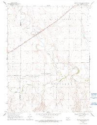
1969 Map of Mouth of Lake Creek
USGS Topo · Published 1993About this map
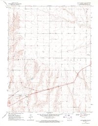
The Butterfield Overland Trail cuts across this High Plains landscape, following a route through the western reaches of Kansas near the Wallace and Logan County line. This late 1960s survey illustrates a rural terrain defined by the broad valley of the Smoky Hill River and its prominent southern bluff, known simply as Smoky Hill. Multiple locations for a Historical Marker and an additional Historic Marker are noted along the historical trail route, providing specific points of interest for researchers tracing the path of early westward expansion. The presence of numerous Wells and a specific Spring highlight the critical importance of water sources in this arid region. Transportation and industry are marked by the Union Pacific railroad line to the north and a lone Quarry in the southeast, while the drainage of Lake Creek and Turkey Creek further shape the local topography.
Find a feature on this map
16 named features on this map. Tap any name to fly to it.
Don’t see what you’re looking for? This feature index may not catch every label — zoom into the map to look around manually.
Map Details
Editions of this 1969 Mouth of Lake Creek Map
2 editions found
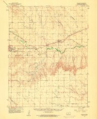
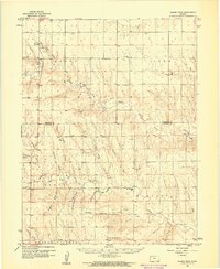
Other maps of this area

1954 · Goodland
USGS Topo · 1:250,000

1955 · Scott City
USGS Topo · 1:250,000

1956 · Goodland
USGS Topo · 1:250,000

1957 · Goodland
USGS Topo · 1:250,000

1958 · Scott City
USGS Topo · 1:250,000
1959 · Wallace
USGS Topo · 1:62,500
1959 · Harris Draw
USGS Topo · 1:62,500
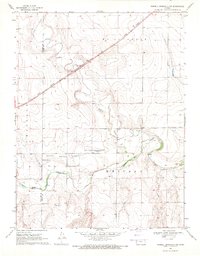
1969 · Russell Springs 2 NW
USGS Topo · 1:24,000
1969 · Mc Allaster SE
USGS Topo · 1:24,000
1969 · Russell Springs 2 SW
USGS Topo · 1:24,000