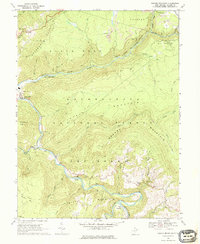
1968 Map of Mozark Mountain
USGS Topo · Published 1976About this map
Backbone Mountain and Mozark Mountain define the high elevations of this 1968 landscape, where the Western Maryland railroad follows the sharp curves of the Blackwater River. The town of Hendricks sits at the western edge where the river joins the Dry Fork, serving as a focal point for local transport and industry. Farther south along the riverbanks lie the smaller settlements of Gladwin and Elk, connected by forest roads and river crossings such as a Ford near the mouth of Coal Run.
Find a feature on this map
48 named features on this map. Tap any name to fly to it.
Don’t see what you’re looking for? This feature index may not catch every label — zoom into the map to look around manually.
Map Details
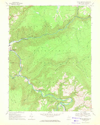
Editions of this 1968 Mozark Mountain Map
2 editions found
Other maps of this area

1886 · St. George
USGS Topo · 1:125,000

1889 · Beverly
USGS Topo · 1:125,000

1891 · St. George
USGS Topo · 1:125,000

1892 · Beverly
USGS Topo · 1:125,000

1892 · Franklin
USGS Topo · 1:125,000

1895 · Piedmont
USGS Topo · 1:125,000

1896 · Franklin
USGS Topo · 1:125,000

1908 · Parsons
USGS Topo · 1:62,500

1916 · Davis
USGS Topo · 1:48,000

1918 · Davis
USGS Topo · 1:62,500