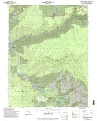
1995 Map of Mozark Mountain
USGS Topo · Published 1998About this map
The confluence of the Blackwater River and Dry Fork at Hendricks serves as the focal point of this Tucker County landscape. The town's layout, complete with a Gaging Sta and Water Tank, underscores its position at the gateway to the massive Mozark Mountain and Canaan Mountain ranges. The steep river valleys are cut by numerous runs including Lindy Run and Tub Run, indicating a rugged terrain that has historically dictated settlement patterns and transit routes. To the south, the settlement of Gladwin sits along the Glady Fork, connected to the interior via a series of trails.
Find a feature on this map
45 named features on this map. Tap any name to fly to it.
Don’t see what you’re looking for? This feature index may not catch every label — zoom into the map to look around manually.
Map Details
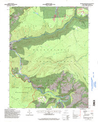
Editions of this 1995 Mozark Mountain Map
2 editions found
Other maps of this area

1886 · St. George
USGS Topo · 1:125,000

1889 · Beverly
USGS Topo · 1:125,000

1891 · St. George
USGS Topo · 1:125,000

1892 · Beverly
USGS Topo · 1:125,000

1892 · Franklin
USGS Topo · 1:125,000

1895 · Piedmont
USGS Topo · 1:125,000

1896 · Franklin
USGS Topo · 1:125,000

1908 · Parsons
USGS Topo · 1:62,500

1916 · Davis
USGS Topo · 1:48,000

1918 · Davis
USGS Topo · 1:62,500