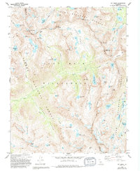
1982 Map of Mt. Abbot
USGS Topo · Published 1994About this map
John Muir Wilderness and the high ridges of the Sierra National Forest dominate this 1982 survey of the central Sierra crest. The landscape is defined by the sharp convergence of Fresno, Mono, and Inyo counties at massive granite summits like Mt Abbot and Mt Mills. High-altitude passes such as Mono Pass and Gabbot Pass provided the only practical traverse across the Mono Divide for early mountaineers and surveyors. The drainage patterns show Mono Creek winding through the recesses of the western slope, while the eastern side drops into the glacial carved Rock Creek Valley. The map details the network of alpine lakes, including the sprawling Pioneer Basin and the cluster of Treasure Lakes, reflecting a wilderness era preserved for recreation. This topography shows the John Muir Trail as it negotiates the high country before late-century management changes altered the local back-country access.
Find a feature on this map
71 named features on this map. Tap any name to fly to it.
Don’t see what you’re looking for? This feature index may not catch every label — zoom into the map to look around manually.
Map Details
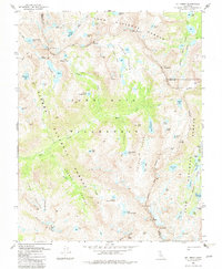
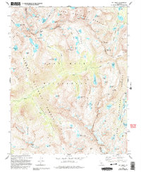
Editions of this 1982 Mt. Abbot Map
3 editions found
Other maps of this area

1912 · Mt. Goddard
USGS Topo · 1:125,000

1914 · Mt. Morrison
USGS Topo · 1:125,000

1947 · Mariposa
USGS Topo · 1:250,000

1948 · Mariposa
USGS Topo · 1:250,000

1949 · Mt. Tom
USGS Topo · 1:62,500

1951 · Mt. Tom
USGS Topo · 1:62,500

1953 · Mt. Morrison
USGS Topo · 1:62,500

1953 · Casa Diablo Mtn
USGS Topo · 1:62,500

1953 · Mt Abbot
USGS Topo · 1:62,500
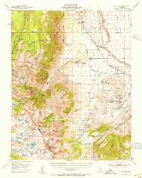
1954 · Mt. Tom
USGS Topo · 1:62,500