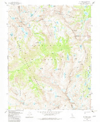
1982 Map of Mt. Abbot
USGS Topo · Published 1982About this map
High Sierra peaks and glacial basins define this 1982 topography at the intersection of Fresno, Mono, and Inyo counties. Central to the landscape is the John Muir Wilderness, where the high peaks of Mt Stanford, Mt Huntington, and Mt Abbot dominate the skyline. The map documents the complex drainage of Mono Creek and its distinctive tributaries, labeled as the First Recess, Second Recess, Third Recess, and Fourth Recess. This nomenclature reflects the early exploration and systematic naming of the interior High Sierra.
Find a feature on this map
75 named features on this map. Tap any name to fly to it.
Don’t see what you’re looking for? This feature index may not catch every label — zoom into the map to look around manually.
Map Details
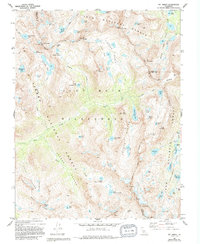
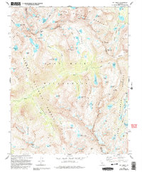
Editions of this 1982 Mt. Abbot Map
3 editions found
Other maps of this area

1912 · Mt. Goddard
USGS Topo · 1:125,000

1914 · Mt. Morrison
USGS Topo · 1:125,000

1947 · Mariposa
USGS Topo · 1:250,000

1948 · Mariposa
USGS Topo · 1:250,000

1949 · Mt. Tom
USGS Topo · 1:62,500

1951 · Mt. Tom
USGS Topo · 1:62,500

1953 · Mt. Morrison
USGS Topo · 1:62,500

1953 · Casa Diablo Mtn
USGS Topo · 1:62,500

1953 · Mt Abbot
USGS Topo · 1:62,500
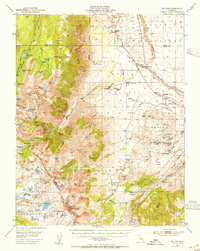
1954 · Mt. Tom
USGS Topo · 1:62,500