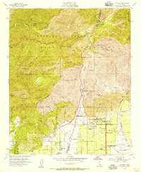
1954 Map of Mt. Baldy
USGS Topo · Published 1955About this map
San Antonio Heights and the northern edge of Upland sit at the base of the San Gabriel Mountains, where the agricultural grid meets the steep drainage of the San Antonio Canyon. The mid-1950s landscape is defined by water management and fire prevention, featuring the San Antonio Dam and its extensive spillway alongside several guard and ranger stations. Higher elevations include the mountain community of Mt Baldy and the Padua Hills Theater, set against the protected lands of the San Dimas Experimental Forest and multiple national forests. Notable cultural landmarks like the Scudder Oaks School and Thompson Ranch are visible, while the At & SF railroad line cuts through the southern valley, illustrating the connection between the high peaks and the growing citrus and suburban corridor of Southern California.
Find a feature on this map
71 named features on this map. Tap any name to fly to it.
Don’t see what you’re looking for? This feature index may not catch every label — zoom into the map to look around manually.
Map Details
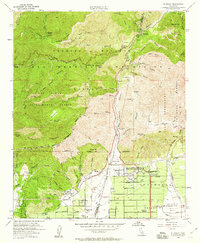
Editions of this 1954 Mt. Baldy Map
2 editions found
Other maps of this area

1894 · Pomona
USGS Topo · 1:62,500

1897 · Pomona
USGS Topo · 1:62,500

1897 · Cucamonga
USGS Topo · 1:62,500

1898 · Pomona
USGS Topo · 1:62,500

1900 · Cucamonga
USGS Topo · 1:62,500

1901 · Southern California Sheet No. 1
USGS Topo · 1:250,000

1903 · Rock Creek
USGS Topo · 1:62,500

1903 · Cucamonga
USGS Topo · 1:62,500

1903 · San Antonio
USGS Topo · 1:62,500

1904 · Pomona
USGS Topo · 1:62,500