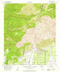
1954 Map of Mt. Baldy
USGS Topo · Published 1960About this map
The San Gabriel Mountains dominate this mid-century survey, showcasing the dramatic transition from high-elevation forest to the citrus-growing outskirts of the eastern Los Angeles Basin. At the foot of San Antonio Canyon, the residential grid of Upland and Cucamonga begins to push northward into the alluvial fans, marked by the developing community of San Antonio Heights and local landmarks like the Community Church. Higher in the canyon, the settlement of Mt Baldy serves as a gateway to the rugged interior, surrounded by the Angeles National Forest and San Bernardino National Forest.
Find a feature on this map
86 named features on this map. Tap any name to fly to it.
Don’t see what you’re looking for? This feature index may not catch every label — zoom into the map to look around manually.
Map Details
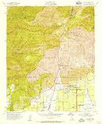
Editions of this 1954 Mt. Baldy Map
2 editions found
Other maps of this area

1894 · Pomona
USGS Topo · 1:62,500

1897 · Pomona
USGS Topo · 1:62,500

1897 · Cucamonga
USGS Topo · 1:62,500

1898 · Pomona
USGS Topo · 1:62,500

1900 · Cucamonga
USGS Topo · 1:62,500

1901 · Southern California Sheet No. 1
USGS Topo · 1:250,000

1903 · Rock Creek
USGS Topo · 1:62,500

1903 · Cucamonga
USGS Topo · 1:62,500

1903 · San Antonio
USGS Topo · 1:62,500

1904 · Pomona
USGS Topo · 1:62,500