
1963 Map of Mt Cramer
USGS Topo · Published 1964About this map
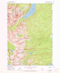
Redfish Lake dominates the upper elevations of this central Idaho wilderness, where the Sawtooth Range forms a jagged divide between Boise and Custer counties. This 1963 field-checked survey documents a landscape of alpine basins and granite spires, centered on the towering Mt Cramer and the distinctive Finger of Fate. The cartography details a network of high-country water bodies, including Hell Roaring Lake, Imogene Lake, and the tiered Lower, Middle, and Upper Cramer Lakes. Human presence is minimal, noted only by the Redfish Inlet Transfer Camp at the lake's edge and the winding Bull Moose Trail. The map effectively illustrates the geological transition from the wooded drainage of Decker Creek to the stark, glaciated peaks like Grand Mogul and Braxon Peak within the Sawtooth and Boise National Forests.
Find a feature on this map
31 named features on this map. Tap any name to fly to it.
Don’t see what you’re looking for? This feature index may not catch every label — zoom into the map to look around manually.
Map Details
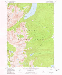
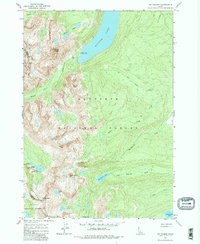
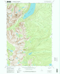
Editions of this 1963 Mt Cramer Map
5 editions found
Other maps of this area

1891 · Bear Valley
USGS Topo · 1:125,000

1893 · Bear Valley
USGS Topo · 1:125,000

1894 · Rocky Bar
USGS Topo · 1:125,000

1900 · Sawtooth
USGS Topo · 1:125,000

1919 · Custer
USGS Topo · 1:125,000

1922 · Custer
USGS Topo · 1:125,000

1955 · Hailey
USGS Topo · 1:250,000

1957 · Challis
USGS Topo · 1:250,000

1959 · Hailey
USGS Topo · 1:250,000

1960 · Challis
USGS Topo · 1:250,000