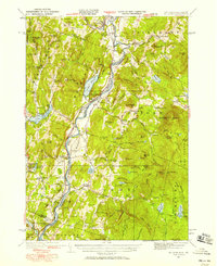
1931 Map of Mt. Cube
USGS Topo · Published 1958About this map
The Connecticut River defines the border between New Hampshire and Vermont in this detailed survey, acting as the central axis for the valley's development. Following the eastern bank, the Boston and Maine Railroad connects riverfront settlements like Piermont, Orford, and North Thetford. This era shows a landscape where mountain education was highly localized, evidenced by numerous rural schools such as the Mt Cube Sch and Kidderhood Sch. Local recreation is anchored by the Dartmouth Outing Club Camp near the base of Mt Cube, while the western hills around Lake Morey and Fairlee Lake show a well-established network of upland farms and mountain notches. The infrastructure of the period is further highlighted by a prominent Transmission Line cutting across the Vermont side, while cemeteries like Mt Cube Cem provide vital touchstones for family historians and genealogists studying the Upper Valley.
Find a feature on this map
127 named features on this map. Tap any name to fly to it.
Don’t see what you’re looking for? This feature index may not catch every label — zoom into the map to look around manually.
Map Details
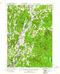
Editions of this 1931 Mt. Cube Map
3 editions found
Other maps of this area

1896 · Strafford
USGS Topo · 1:62,500

1906 · Hanover
USGS Topo · 1:62,500

1908 · Hanover
USGS Topo · 1:62,500

1927 · Cardigan
USGS Topo · 1:62,500

1927 · Mascoma
USGS Topo · 1:62,500

1928 · Rumney
USGS Topo · 1:62,500

1929 · Moosilauke
USGS Topo · 1:62,500

1930 · Cardigan
USGS Topo · 1:62,500

1931 · Mt. Cube
USGS Topo · 1:62,500

1931 · Woodsville
USGS Topo · 1:48,000