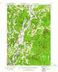
1931 Map of Mt. Cube
USGS Topo · Published 1961About this map
The Connecticut River serves as the central artery and state boundary for this 1931 survey, which captures the agrarian and academic landscape of the Upper Valley during the early twentieth century. This era is defined by the coexistence of old river-bottom settlements like Fairlee and Orford alongside emerging recreational and educational sites. The map clearly delineates the Appalachian Trail as it winds through the granite uplands, passing landmarks such as the Dartmouth Outing Club Camp and the Mt Cube House.
Find a feature on this map
137 named features on this map. Tap any name to fly to it.
Don’t see what you’re looking for? This feature index may not catch every label — zoom into the map to look around manually.
Map Details
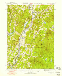
Editions of this 1931 Mt. Cube Map
3 editions found
Other maps of this area

1896 · Strafford
USGS Topo · 1:62,500

1906 · Hanover
USGS Topo · 1:62,500

1908 · Hanover
USGS Topo · 1:62,500

1927 · Cardigan
USGS Topo · 1:62,500

1927 · Mascoma
USGS Topo · 1:62,500

1928 · Rumney
USGS Topo · 1:62,500

1929 · Moosilauke
USGS Topo · 1:62,500

1930 · Cardigan
USGS Topo · 1:62,500

1931 · Mt. Cube
USGS Topo · 1:62,500

1931 · Woodsville
USGS Topo · 1:48,000