
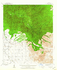
1942 Map of Mt. Graham
USGS Topo · Published 1945About this map
Mt Graham dominates this landscape, rising above the surrounding desert basins with its peaks and lookout towers during the early 1940s. The map illustrates a transition from the agricultural lowlands of Sulphur Spring Valley to the high elevations of the Coronado National Forest. In the lower elevations, the State Industrial School and Fort Grant (PO) serve as primary landmarks, surrounded by family-run operations such as Moyer Ranch and Mills Ranch.
Find a feature on this map
83 named features on this map. Tap any name to fly to it.
Don’t see what you’re looking for? This feature index may not catch every label — zoom into the map to look around manually.
Map Details
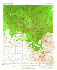
Editions of this 1942 Mt. Graham Map
3 editions found
Other maps of this area

1922 · Willcox
USGS Topo · 1:125,000

1940 · Sierra Bonita Ranch
USGS Topo · 1:62,500

1942 · Sierra Bonita Ranch
USGS Topo · 1:62,500

1943 · Willcox
USGS Topo · 1:62,500

1943 · Sierra Bonita Ranch
USGS Topo · 1:62,500

1943 · Winchester Mts.
USGS Topo · 1:62,500

1944 · Jackson Mtn.
USGS Topo · 1:62,500

1944 · Fisher Hills
USGS Topo · 1:62,500

1945 · Mt. Graham
USGS Topo · 1:62,500

1945 · Winchester Mts.
USGS Topo · 1:62,500