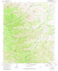
1972 Map of Mt. Graham
USGS Topo · Published 1983About this map
The Pinaleno Mountains rise sharply in this 1970s survey, dominated by the high-elevation terrain of Mt Graham and its surrounding peaks. Within the Coronado National Forest, the map reveals a network of recreational and resource management infrastructure, from the Heliograph Peak Lookout Tower and its associated Radio Facilities to several developed campsites like Arcadia Campground and Shannon Park Campground. The landscape is etched with steep drainages, including Deadman Creek and Marijilda Creek, which flow toward the more arid basins below.
Find a feature on this map
65 named features on this map. Tap any name to fly to it.
Don’t see what you’re looking for? This feature index may not catch every label — zoom into the map to look around manually.
Map Details
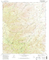
Editions of this 1972 Mt. Graham Map
3 editions found
Other maps of this area

1942 · Mt. Graham
USGS Topo · 1:62,500

1945 · Mt. Graham
USGS Topo · 1:62,500

1954 · Silver City
USGS Topo · 1:250,000

1958 · Silver City
USGS Topo · 1:250,000

1960 · Thatcher
USGS Topo · 1:62,500

1960 · Safford
USGS Topo · 1:62,500

1962 · Silver City
USGS Topo · 1:250,000

1966 · Artesia
USGS Topo · 1:24,000
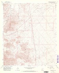
1966 · Gillespie Mtn.
USGS Topo · 1:24,000
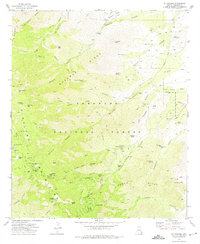
1972 · Mt. Graham
USGS Topo · 1:24,000