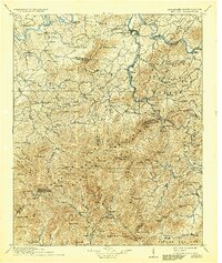
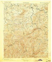
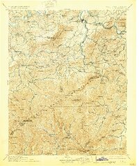
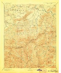
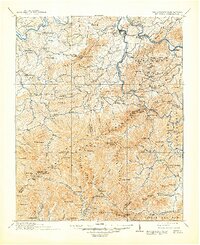
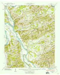
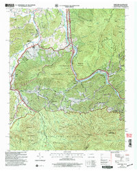
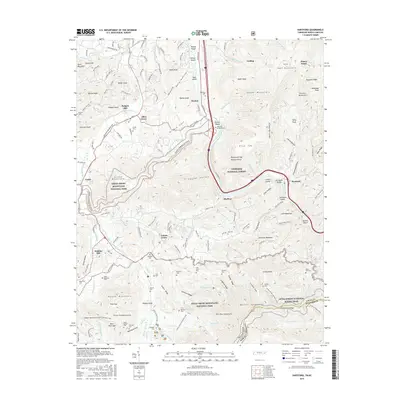
1912 Map of Mt. Guyot
USGS Topo · Published 1937About this map
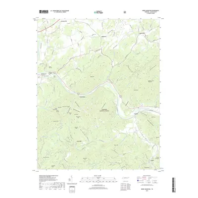
The Great Smoky Mountains dominate this early 20th-century landscape, illustrating the complex border between Tennessee and North Carolina before the creation of the national park. The rugged interior is anchored by high summits like Mt Guyot and Clingmans Dome, while the Qualla Indian Reservation occupies the southern slopes. Along the northern fringe, the French Broad River and Pigeon River valleys support established settlements such as Newport and Bridgeport. The industrial footprint of the era is evident through the Southern Railway corridor and smaller operations at Naillon Sta and Crestmont. In the deep mountain coves, isolated communities like Cataloochee and Jones Cove are mapped via a network of creeks and forks, reflecting a period when mountain agriculture and early timber extraction shaped the local economy within the newly designated Cherokee National Forest.
Find a feature on this map
140 named features on this map. Tap any name to fly to it.
Don’t see what you’re looking for? This feature index may not catch every label — zoom into the map to look around manually.
Map Details
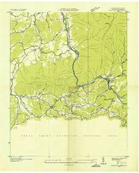
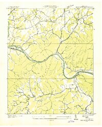
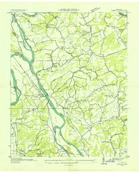
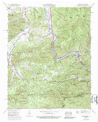
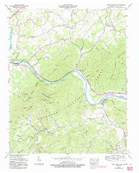
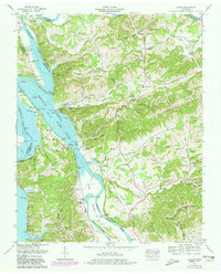
Editions of this 1912 Mt. Guyot Map
5 editions found

Historical Maps of Sevierville Through Time
26 maps found
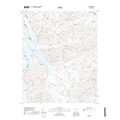
1893 Mt Guyot
Cocke County, TN
1912 Mt. Guyot
Cocke County, TN
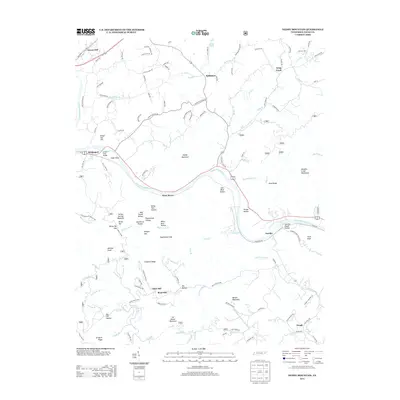
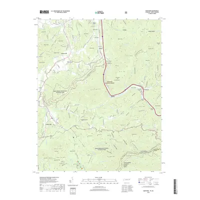
1935 Hartford
Cocke County, TN
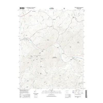
1935 Neddy Mountain
Cocke County, TN
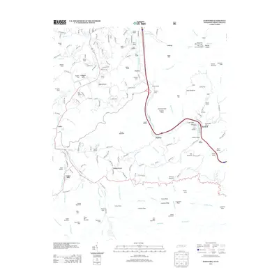
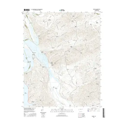
1935 Rankin
Cocke County, TN

1935 Small
Cocke County, TN
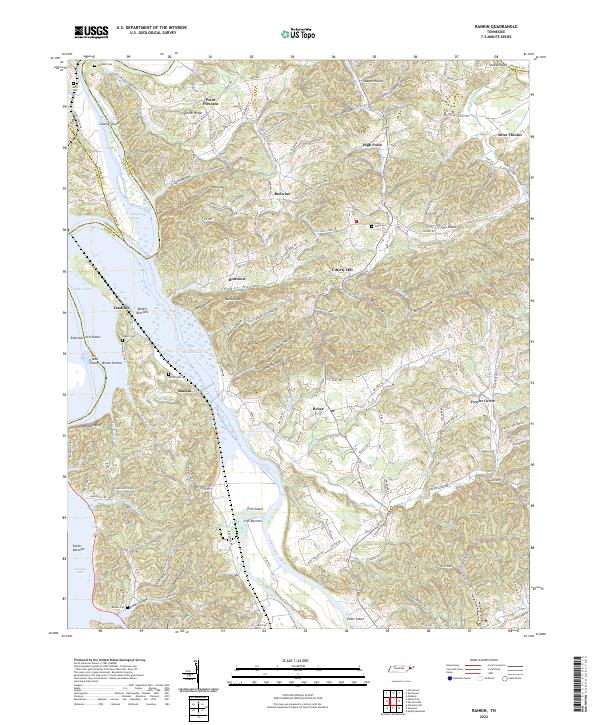
1939 Rankin
Cocke County, TN
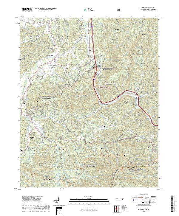
1940 Hartford
Cocke County, TN
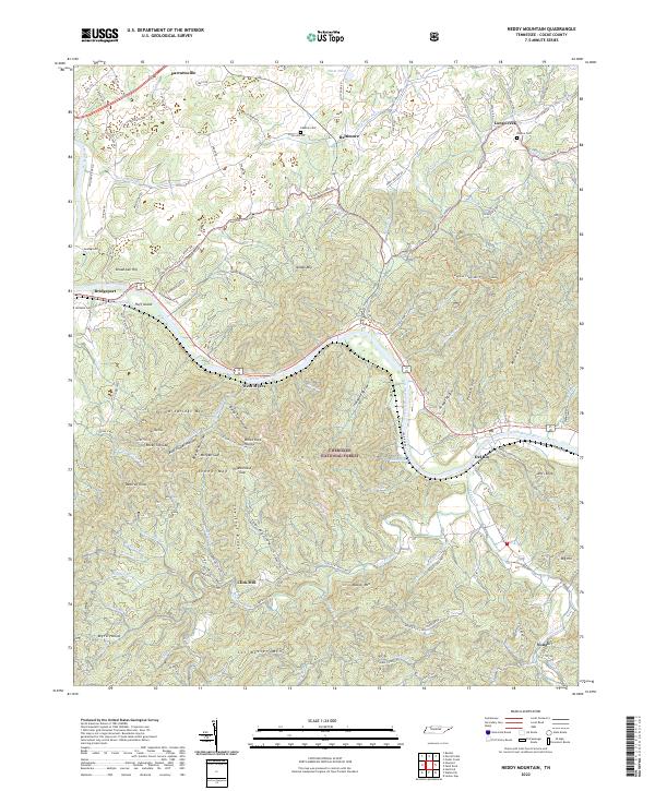
1940 Neddy Mountain
Cocke County, TN
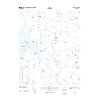
1961 Rankin
Cocke County, TN
2003 Hartford
Cocke County, TN
2010 Rankin
Cocke County, TN
2011 Hartford
Cocke County, TN
2011 Neddy Mountain
Cocke County, TN
2013 Hartford
Cocke County, TN
2013 Neddy Mountain
Cocke County, TN
2013 Rankin
Cocke County, TN
2016 Hartford
Cocke County, TN
2016 Neddy Mountain
Cocke County, TN
2016 Rankin
Cocke County, TN
2019 Hartford
Cocke County, TN
2019 Neddy Mountain
Cocke County, TN
2019 Rankin
Cocke County, TN
2022 Hartford
Cocke County, TN
2022 Neddy Mountain
Cocke County, TN
2022 Rankin
Cocke County, TN