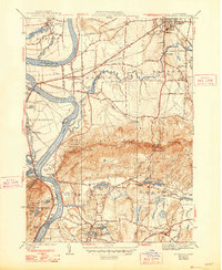
1941 Map of Mt Holyoke
USGS Topo · Published 1948About this map
Amherst College and Mt Holyoke College anchor the academic and cultural landscape of this Connecticut River valley region during the mid-1940s. The prominent Holyoke Range creates a dramatic natural barrier between Hadley and South Hadley, featuring peaks like Mt Hitchcock and Mt Norwottock. The map details a sophisticated transportation and industrial network, from the tracks of the Boston and Maine Railroad and the Central Vermont to local milling sites at Mill Valley and Aldrich Mills.
Find a feature on this map
82 named features on this map. Tap any name to fly to it.
Don’t see what you’re looking for? This feature index may not catch every label — zoom into the map to look around manually.
Map Details
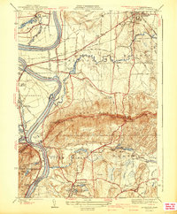
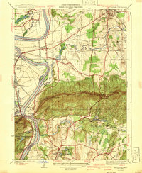
Editions of this 1941 Mt Holyoke Map
3 editions found
Other maps of this area

1885 · Northampton
USGS Topo · 1:62,500

1886 · Springfield
USGS Topo · 1:62,500

1886 · Northampton
USGS Topo · 1:62,500

1887 · Palmer
USGS Topo · 1:62,500

1887 · Belchertown
USGS Topo · 1:62,500

1889 · Springfield
USGS Topo · 1:62,500

1889 · Palmer
USGS Topo · 1:62,500

1890 · Belchertown
USGS Topo · 1:62,500

1891 · Northampton
USGS Topo · 1:62,500

1893 · Northampton
USGS Topo · 1:62,500