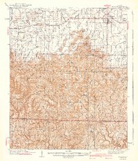
1940 Map of Mt Hope
USGS Topo · Published 1940About this map
Moulton serves as a primary hub in the north of this 1930s-era landscape, where the transition from agricultural valley to the dense woodlands of the Black Warrior National Forest is clearly defined. The terrain rises significantly south of Town Creek, moving into the high ridges of Sand Mountain and the complex topography of Buzzard Roost Mtn and Penitentiary Mtn. This area is marked by a dense network of country schools like Jamison Sch and Delashaw Sch, alongside numerous community landmarks such as Owens Chapel and Elam Ch. Deep in the southern forest, the presence of a CCC Camp near Mt Olive Ch reflects the era's conservation efforts and infrastructure development, while the Central Firetower stands as a sentinel over the watersheds of Brushy Creek and Hurricane Creek.
Find a feature on this map
81 named features on this map. Tap any name to fly to it.
Don’t see what you’re looking for? This feature index may not catch every label — zoom into the map to look around manually.
Map Details
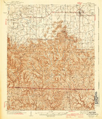
Editions of this 1940 Mt Hope Map
3 editions found

Other maps of this area

1924 · Tuscumbia
USGS Topo · 1:48,000

1926 · Tuscumbia
USGS Topo · 1:62,500

1935 · Moulton
USGS Topo · 1:24,000

1935 · Upshaw
USGS Topo · 1:24,000

1935 · Danville
USGS Topo · 1:48,000

1935 · Oakville
USGS Topo · 1:24,000

1936 · Newburg
USGS Topo · 1:24,000

1936 · Delmar
USGS Topo · 1:24,000

1936 · Kinlock Spring
USGS Topo · 1:24,000

1936 · Caddo
USGS Topo · 1:24,000