
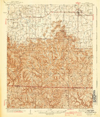
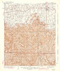
1940 Map of Mt Hope
USGS Topo · Published 1940About this map
Moulton and the surrounding Moulton Valley form the northern anchor of this 1940 edition, transitioning into the deeply dissected uplands of Sand Mountain. The landscape reflects a rural economy of small settlements and dispersed agricultural life, where hubs like Mount Hope and Landersville are connected by local roads that wind around peaks like Cowan Mtn and Penitentiary Mtn.
Find a feature on this map
73 named features on this map. Tap any name to fly to it.
Don’t see what you’re looking for? This feature index may not catch every label — zoom into the map to look around manually.
Map Details
Editions of this 1940 Mt Hope Map
3 editions found
Other maps of this area

1924 · Tuscumbia
USGS Topo · 1:48,000

1926 · Tuscumbia
USGS Topo · 1:62,500

1935 · Moulton
USGS Topo · 1:24,000

1935 · Upshaw
USGS Topo · 1:24,000

1935 · Danville
USGS Topo · 1:48,000

1935 · Oakville
USGS Topo · 1:24,000

1936 · Newburg
USGS Topo · 1:24,000

1936 · Delmar
USGS Topo · 1:24,000

1936 · Kinlock Spring
USGS Topo · 1:24,000

1936 · Caddo
USGS Topo · 1:24,000