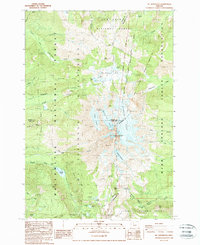
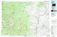
1988 Map of Mt. Jefferson
USGS Topo · Published 1998About this map
Mt Jefferson dominates this high-altitude landscape, serving as a convergence point for the Willamette, Mt Hood, and Deschutes National Forest, alongside the Warm Springs Indian Reservation. The 1988 survey details the intricate glacial systems radiating from the peak, including the Whitewater, Russell, and Waldo Glaciers.
Find a feature on this map
54 named features on this map. Tap any name to fly to it.
Don’t see what you’re looking for? This feature index may not catch every label — zoom into the map to look around manually.
Map Details
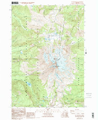
Editions of this 1988 Mt. Jefferson Map
2 editions found
Other maps of this area

1927 · Mt. Jefferson
USGS Topo · 1:125,000

1930 · Mt. Jefferson
USGS Topo · 1:125,000

1955 · Bend
USGS Topo · 1:250,000

1957 · Bend
USGS Topo · 1:250,000

1958 · Bend
USGS Topo · 1:250,000

1961 · Whitewater River
USGS Topo · 1:62,500

1961 · Fort Butte
USGS Topo · 1:62,500
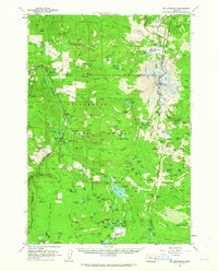
1961 · Mt. Jefferson
USGS Topo · 1:62,500
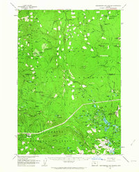
1961 · Breitenbush Hot Springs
USGS Topo · 1:62,500
1983 · Madras
USGS Topo · 1:100,000