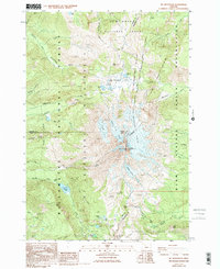
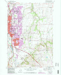
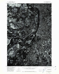
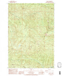
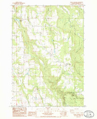
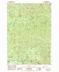
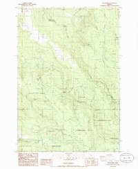
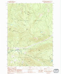
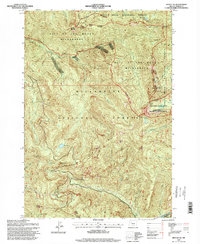
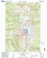
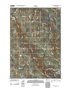
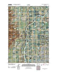
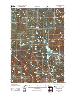
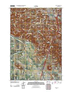
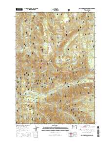
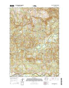
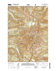
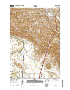
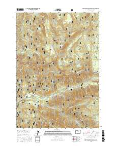
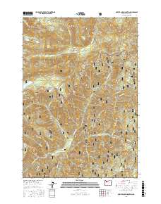
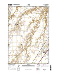
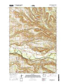
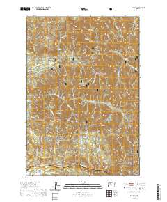
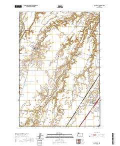
1988 Map of Mt. Jefferson
USGS Topo · Published 1994About this map
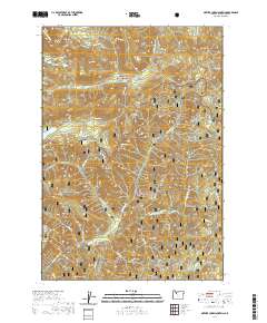
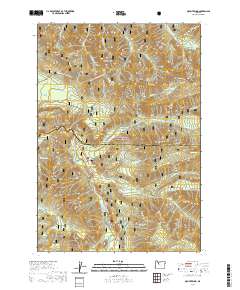
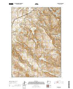
Mt Jefferson dominates the center of this 1980s landscape, serving as the high point where the Mount Jefferson Wilderness meets the Warm Springs Indian Reservation. The map details a complex glacial system radiating from the peak, including the Whitewater Glacier, Russell Glacier, and Waldo Glacier. The Pacific Crest National Scenic Trail winds through the high alpine country, passing landmark basins like Jefferson Park and the turquoise waters of Pamelia Lake. This survey captures the wilderness character of the Oregon Cascades at a time when the boundaries of the Willamette, Mt. Hood, and Deschutes National Forests converge at this volcanic summit. Geologic and recreational points such as Cathedral Rocks and Hole in the Wall Park provide reference for backcountry navigation and environmental study.
Find a feature on this map
45 named features on this map. Tap any name to fly to it.
Don’t see what you’re looking for? This feature index may not catch every label — zoom into the map to look around manually.
Map Details
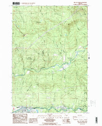
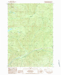
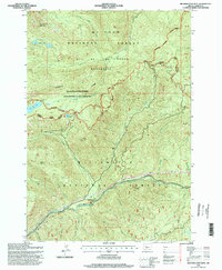
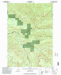
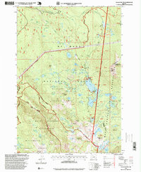
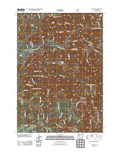
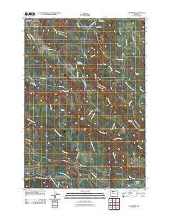
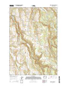
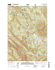
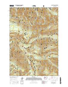
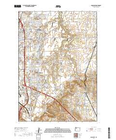
Editions of this 1988 Mt. Jefferson Map
2 editions found
Historical Maps of Marion County Through Time
113 maps found

1915 Sidney
Marion County, OR
1956 Battle Ax
Marion County, OR
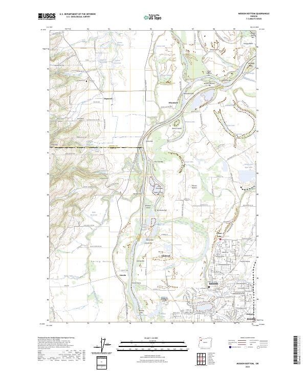
1957 Mission Bottom
Marion County, OR
1961 Breitenbush Hot Springs
Marion County, OR
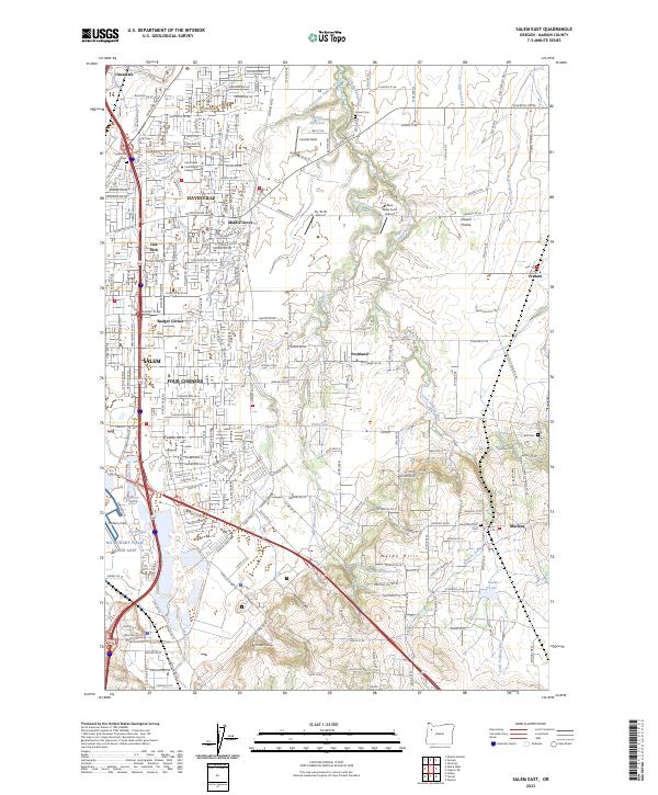
1969 Salem East
Marion County, OR
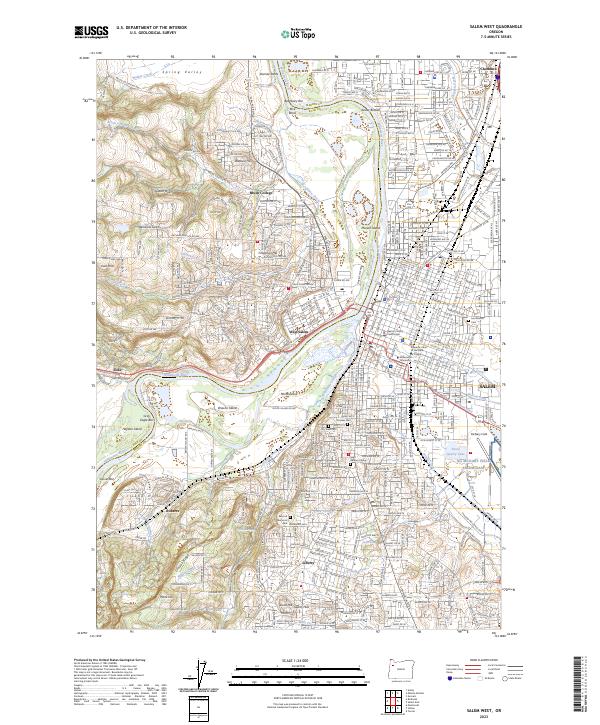
1969 Salem West
Marion County, OR
1969 Stayton NE
Marion County, OR
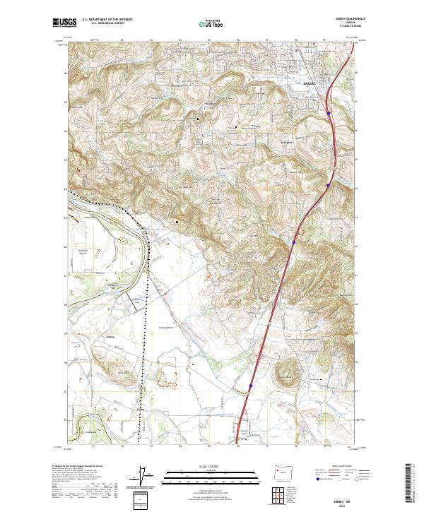
1970 Sidney
Marion County, OR
1975 Salem West
Marion County, OR
1985 Battle Ax
Marion County, OR
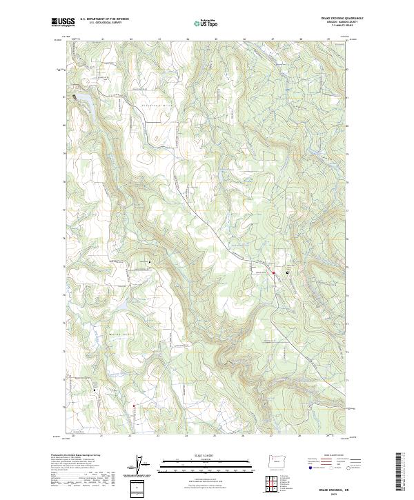
1985 Drake Crossing
Marion County, OR
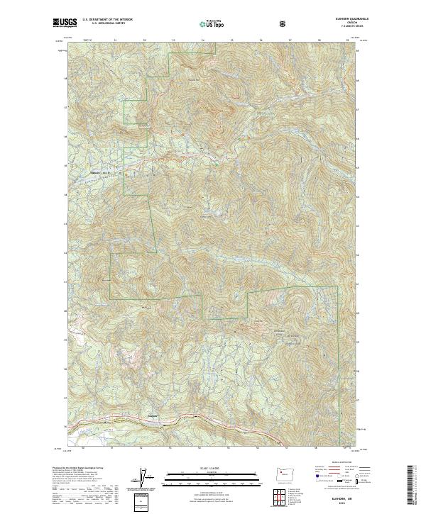
1985 Elkhorn
Marion County, OR
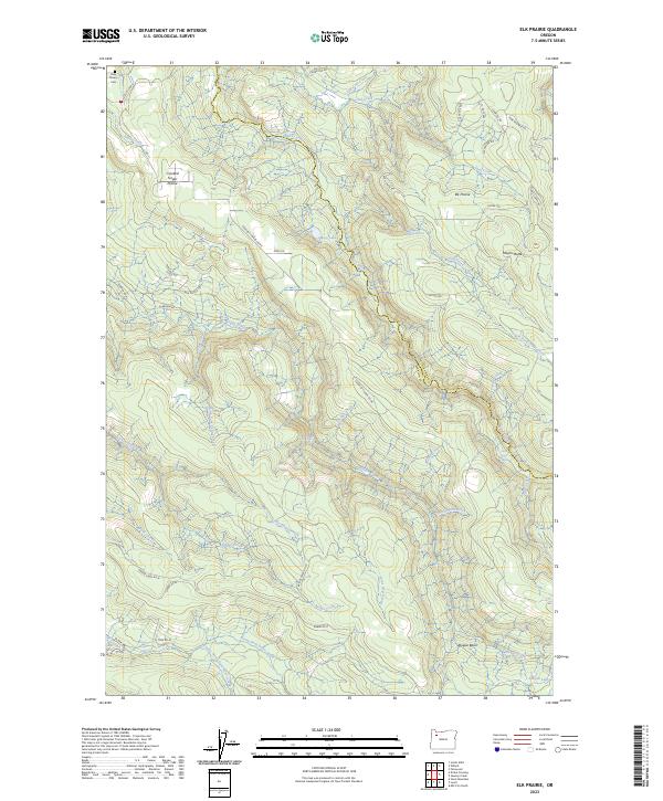
1985 Elk Prairie
Marion County, OR
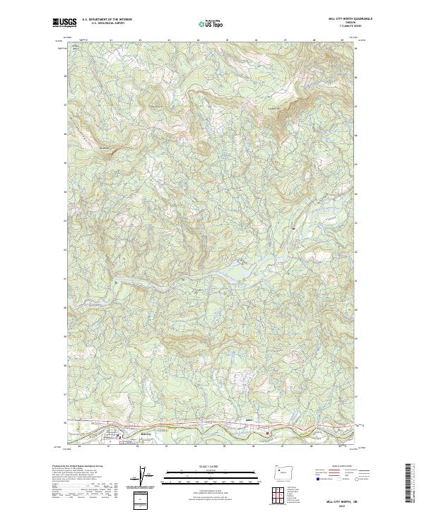
1985 Mill City North
Marion County, OR
1985 Mother Lode Mtn
Marion County, OR
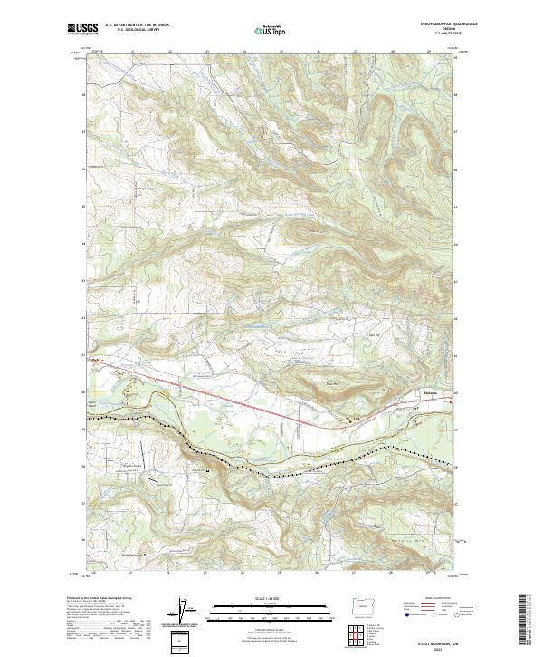
1985 Stout Mountain
Marion County, OR
1988 Breitenbush Hot Springs
Marion County, OR
1988 Mt. Bruno
Marion County, OR
1988 Mt. Jefferson
Marion County, OR
1988 Olallie Butte
Marion County, OR
1994 Battle Ax
Marion County, OR

1994 Elkhorn
Marion County, OR
1994 Mother Lode Mtn
Marion County, OR
1994 Mount Bruno
Marion County, OR
1997 Breitenbush Hot Springs
Marion County, OR
1997 Mount Jefferson
Marion County, OR
1997 Olallie Butte
Marion County, OR
2011 Battle Ax
Marion County, OR
2011 Breitenbush Hot Springs
Marion County, OR
2011 Drake Crossing
Marion County, OR
2011 Elkhorn
Marion County, OR
2011 Elk Prairie
Marion County, OR
2011 Mill City North
Marion County, OR
2011 Mission Bottom
Marion County, OR
2011 Mother Lode Mountain
Marion County, OR
2011 Mount Bruno
Marion County, OR
2011 Mount Jefferson
Marion County, OR
2011 Olallie Butte
Marion County, OR
2011 Saint Paul
Marion County, OR
2011 Salem East
Marion County, OR
2011 Salem West
Marion County, OR
2011 Sidney
Marion County, OR
2011 Stayton NE
Marion County, OR
2011 Stout Mountain
Marion County, OR
2014 Battle Ax
Marion County, OR
2014 Breitenbush Hot Springs
Marion County, OR
2014 Drake Crossing
Marion County, OR
2014 Elkhorn
Marion County, OR
2014 Elk Prairie
Marion County, OR
2014 Mill City North
Marion County, OR
2014 Mission Bottom
Marion County, OR
2014 Mother Lode Mountain
Marion County, OR
2014 Mount Bruno
Marion County, OR
2014 Mount Jefferson
Marion County, OR
2014 Olallie Butte
Marion County, OR
2014 Saint Paul
Marion County, OR

2014 Salem East
Marion County, OR
2014 Salem West
Marion County, OR
2014 Sidney
Marion County, OR
2014 Stayton NE
Marion County, OR
2014 Stout Mountain
Marion County, OR
2017 Battle Ax
Marion County, OR
2017 Breitenbush Hot Springs
Marion County, OR
2017 Drake Crossing
Marion County, OR

2017 Elkhorn
Marion County, OR

2017 Elk Prairie
Marion County, OR
2017 Mill City North
Marion County, OR
2017 Mission Bottom
Marion County, OR
2017 Mother Lode Mountain
Marion County, OR
2017 Mount Bruno
Marion County, OR
2017 Mount Jefferson
Marion County, OR
2017 Olallie Butte
Marion County, OR
2017 Saint Paul
Marion County, OR
2017 Salem East
Marion County, OR
2017 Salem West
Marion County, OR
2017 Sidney
Marion County, OR

2017 Stayton NE
Marion County, OR
2017 Stout Mountain
Marion County, OR
2020 Battle Ax
Marion County, OR
2020 Breitenbush Hot Springs
Marion County, OR
2020 Drake Crossing
Marion County, OR
2020 Elkhorn
Marion County, OR
2020 Elk Prairie
Marion County, OR
2020 Mill City North
Marion County, OR
2020 Mission Bottom
Marion County, OR
2020 Mother Lode Mountain
Marion County, OR
2020 Mount Bruno
Marion County, OR
2020 Mount Jefferson
Marion County, OR
2020 Olallie Butte
Marion County, OR
2020 Saint Paul
Marion County, OR
2020 Salem East
Marion County, OR
2020 Salem West
Marion County, OR
2020 Sidney
Marion County, OR
2020 Stayton NE
Marion County, OR
2020 Stout Mountain
Marion County, OR
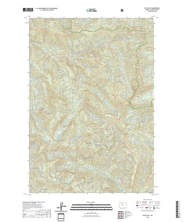
2023 Battle Ax
Marion County, OR
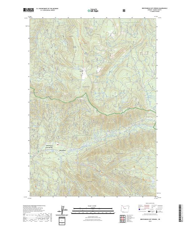
2023 Breitenbush Hot Springs
Marion County, OR
2023 Drake Crossing
Marion County, OR
2023 Elkhorn
Marion County, OR
2023 Elk Prairie
Marion County, OR
2023 Mill City North
Marion County, OR
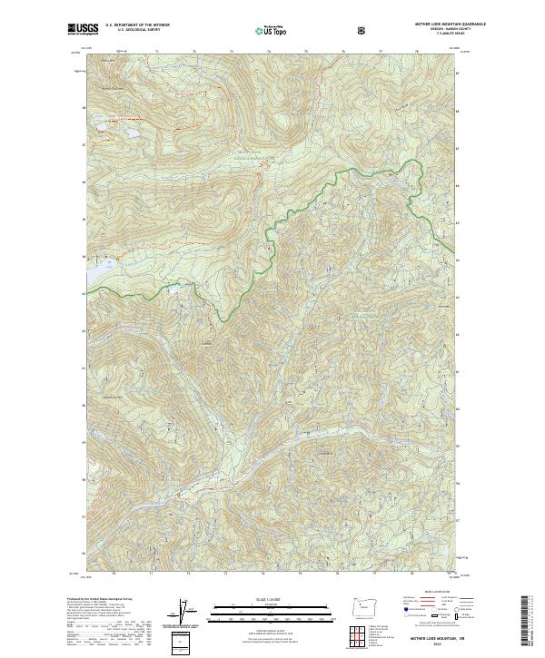
2023 Mother Lode Mountain
Marion County, OR
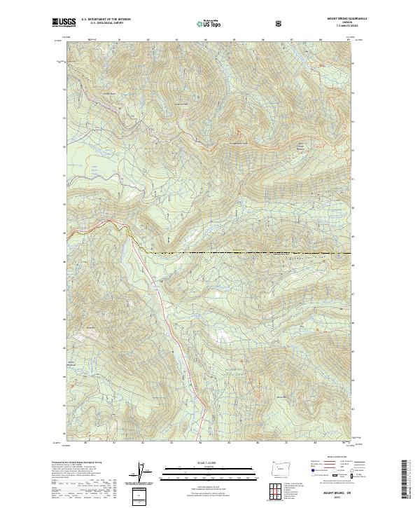
2023 Mount Bruno
Marion County, OR
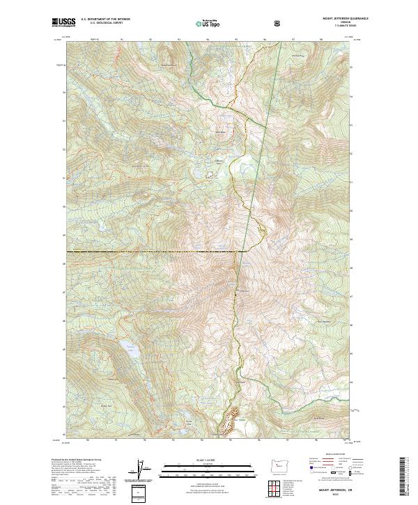
2023 Mount Jefferson
Marion County, OR
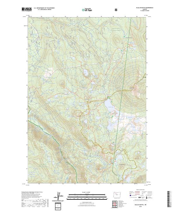
2023 Olallie Butte
Marion County, OR
2023 Salem East
Marion County, OR
2023 Salem West
Marion County, OR
2023 Sidney
Marion County, OR
2023 Stout Mountain
Marion County, OR
2024 Mission Bottom
Marion County, OR
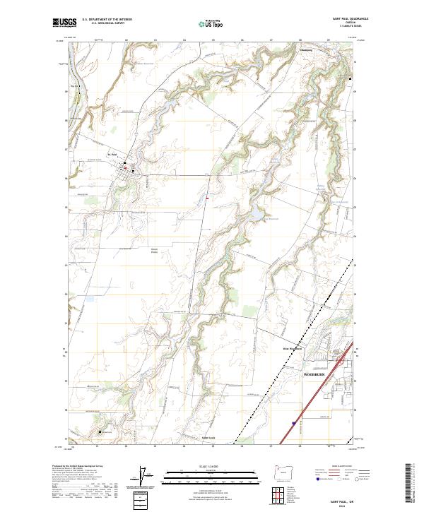
2024 Saint Paul
Marion County, OR
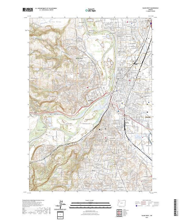
2024 Salem West
Marion County, OR
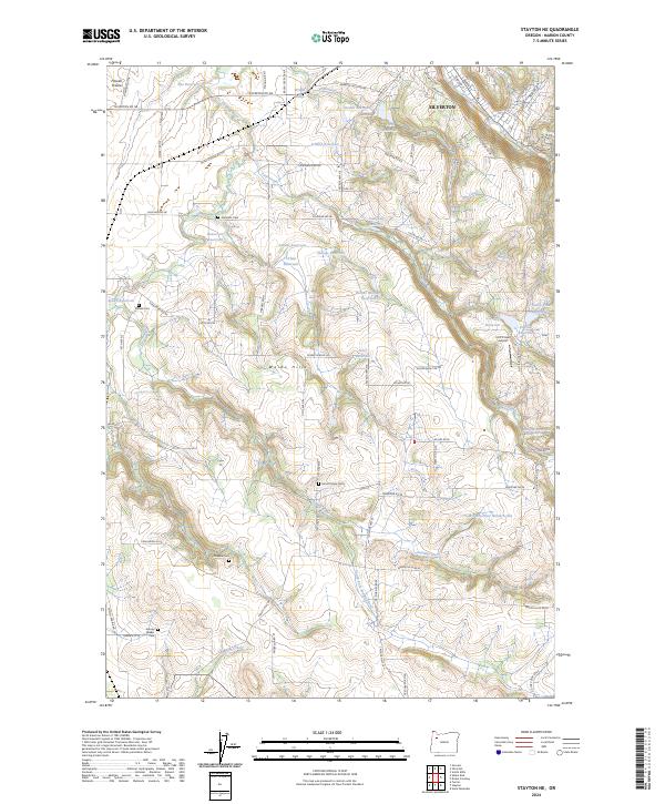
2024 Stayton NE
Marion County, OR