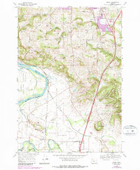
1970 Map of Sidney
USGS Topo · Published 1987About this map
The Willamette River and the Santiam River converge in this fertile riverine landscape south of Salem during the early 1970s. The terrain transitions from the low-lying American Bottom and Ankeny Bottom up into prominent elevations like Prospect Hill and Ankeny Hill. This area is defined by its agricultural and transit history, where the Northern Pacific RR serves small sidings and communities including Sidney and Talbot.
Find a feature on this map
67 named features on this map. Tap any name to fly to it.
Don’t see what you’re looking for? This feature index may not catch every label — zoom into the map to look around manually.
Map Details
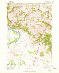
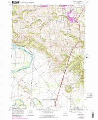
Editions of this 1970 Sidney Map
3 editions found
Other maps of this area

1912 · Jefferson
USGS Topo · 1:31,680

1913 · Wells
USGS Topo · 1:31,680

1914 · Independence
USGS Topo · 1:31,680

1915 · Rickreall
USGS Topo · 1:31,680

1915 · Eola
USGS Topo · 1:31,680

1915 · Sidney
USGS Topo · 1:31,680

1916 · Albany
USGS Topo · 1:62,500

1917 · Salem
USGS Topo · 1:62,500

1921 · Lebanon
USGS Topo · 1:62,500

1922 · Lebanon
USGS Topo · 1:48,000