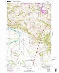
1970 Map of Sidney
USGS Topo · Published 1987About this map
Ankeny National Wildlife Refuge dominates the central floodplain south of Salem, marking a transition from the urban expansion of the state capital to the fertile bottomlands of the Willamette River. The landscape is a mix of high-ground hill clusters like Ankeny Hill and Jory Hill and the riverine topography of Whiteman Bar and Cole Island. Human settlement is defined by small sidings and communities like Sidney and Talbot along the Burlington Northern line.
Find a feature on this map
58 named features on this map. Tap any name to fly to it.
Don’t see what you’re looking for? This feature index may not catch every label — zoom into the map to look around manually.
Map Details
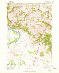
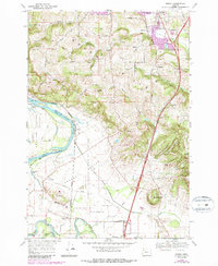
Editions of this 1970 Sidney Map
3 editions found
Other maps of this area

1912 · Jefferson
USGS Topo · 1:31,680

1913 · Wells
USGS Topo · 1:31,680

1914 · Independence
USGS Topo · 1:31,680

1915 · Rickreall
USGS Topo · 1:31,680

1915 · Eola
USGS Topo · 1:31,680

1915 · Sidney
USGS Topo · 1:31,680

1916 · Albany
USGS Topo · 1:62,500

1917 · Salem
USGS Topo · 1:62,500

1921 · Lebanon
USGS Topo · 1:62,500

1922 · Lebanon
USGS Topo · 1:48,000