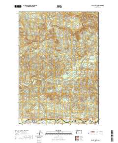
2020 Map of Mill City North
USGS Topo · Published 2020About this map
Mill City and Gates anchor the southern edge of this landscape along the banks of the North Santiam River, where the Marion and Linn County line follows the water's course. This 2020 survey illustrates the confluence of timber-country topography and mountain waterways, featuring the Little North Santiam River as it winds past Elkhorn Valley. The northern reaches are dominated by significant elevations including Lookout Mtn, House Mtn, and the distinctive Wildcat Ridge.
Find a feature on this map
61 named features on this map. Tap any name to fly to it.
Don’t see what you’re looking for? This feature index may not catch every label — zoom into the map to look around manually.
Map Details
Editions of this 2020 Mill City North Map
This is the sole edition of this map. No revisions or reprints were ever made.
Other maps of this area
1929 · Mill City
USGS Topo · 1:125,000
1951 · Lyons
USGS Topo · 1:62,500
1951 · Snow Peak
USGS Topo · 1:62,500

1953 · Salem
USGS Topo · 1:250,000
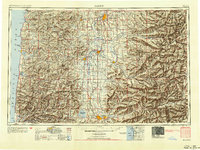
1954 · Salem
USGS Topo · 1:250,000
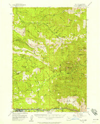
1955 · Mill City
USGS Topo · 1:62,500
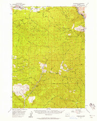
1956 · Quartzville
USGS Topo · 1:62,500
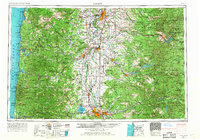
1960 · Salem
USGS Topo · 1:250,000
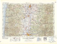
1962 · Salem
USGS Topo · 1:250,000
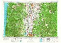
1963 · Salem
USGS Topo · 1:250,000