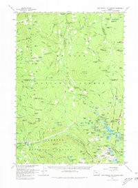
1961 Map of Breitenbush Hot Springs
USGS Topo · Published 1980About this map
Breitenbush Hot Springs serves as a primary point of interest in this high-altitude landscape, where the Mt Hood National Forest and Willamette National Forest converge. The 1961 survey documents a wilderness transitioning into a managed recreation and resource area, marked by the presence of Rhododendron Guard Sta and Olallie Guard Sta. Extensive trail systems, including the notable Skyline Trail and the Hunter Trail, weave through a terrain defined by peaks such as Scorpion Mtn and Bald Butte. To the east, the boundary of the Warm Springs Indian Reservation is clearly delineated, separating the national forests from tribal lands. Numerous water bodies like Round Lake and the Collawash River drain the high ridges, supporting a network of sites like Lemiti Campground and the Cleator Bend Picnic Area for early 1960s visitors.
Find a feature on this map
172 named features on this map. Tap any name to fly to it.
Don’t see what you’re looking for? This feature index may not catch every label — zoom into the map to look around manually.
Map Details
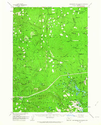
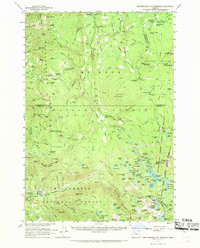
Editions of this 1961 Breitenbush Hot Springs Map
3 editions found
Other maps of this area

1916 · Estacada
USGS Topo · 1:125,000

1924 · Mount Hood
USGS Topo · 1:125,000

1927 · Mount Hood
USGS Topo · 1:125,000

1927 · Mt. Jefferson
USGS Topo · 1:125,000

1929 · Mill City
USGS Topo · 1:125,000

1930 · Mt. Jefferson
USGS Topo · 1:125,000

1948 · Vancouver
USGS Topo · 1:250,000

1950 · Vancouver
USGS Topo · 1:250,000

1950 · Vancouver
USGS Topo · 1:250,000

1953 · Salem
USGS Topo · 1:250,000