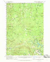
1961 Map of Breitenbush Hot Springs
USGS Topo · Published 1969About this map
Breitenbush Hot Springs serves as the focal point for this 1960s study of the northern Cascades, situated at the confluence of the Breitenbush River forks. This high-elevation landscape is defined by the transition between the Willamette National Forest and Mount Hood National Forest, showcasing a complex network of fire lookouts and forest service infrastructure. Lookout points like Hawk Mtn and Sisi Butte anchor the high ridges, while the Skyline Road and Skyline Trail provide the primary north-south arteries for passage through the timbered terrain.
Find a feature on this map
138 named features on this map. Tap any name to fly to it.
Don’t see what you’re looking for? This feature index may not catch every label — zoom into the map to look around manually.
Map Details
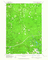
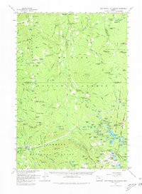
Editions of this 1961 Breitenbush Hot Springs Map
3 editions found
Other maps of this area

1916 · Estacada
USGS Topo · 1:125,000

1924 · Mount Hood
USGS Topo · 1:125,000

1927 · Mount Hood
USGS Topo · 1:125,000

1927 · Mt. Jefferson
USGS Topo · 1:125,000

1929 · Mill City
USGS Topo · 1:125,000

1930 · Mt. Jefferson
USGS Topo · 1:125,000

1948 · Vancouver
USGS Topo · 1:250,000

1950 · Vancouver
USGS Topo · 1:250,000

1950 · Vancouver
USGS Topo · 1:250,000

1953 · Salem
USGS Topo · 1:250,000