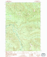
1988 Map of Mt. Bruno
USGS Topo · Published 1994About this map
North Santiam River flows through the heart of this terrain, marking the boundary between Marion Co and Linn Co. The landscape is dominated by the steep ridges and peaks of the Willamette National Forest, where the Mt Jefferson Wilderness begins its eastern reach. Notable peaks like Mount Bruno, Outerson Mtn, and Triangulation Peak rise above a network of waterways including Whitewater Creek and Pamelia Creek.
Find a feature on this map
51 named features on this map. Tap any name to fly to it.
Don’t see what you’re looking for? This feature index may not catch every label — zoom into the map to look around manually.
Map Details
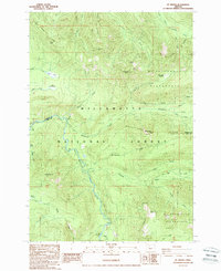
Editions of this 1988 Mt. Bruno Map
2 editions found
Other maps of this area

1927 · Mt. Jefferson
USGS Topo · 1:125,000

1929 · Mill City
USGS Topo · 1:125,000

1930 · Mt. Jefferson
USGS Topo · 1:125,000

1953 · Salem
USGS Topo · 1:250,000

1954 · Salem
USGS Topo · 1:250,000

1955 · Bend
USGS Topo · 1:250,000

1956 · Battle Ax
USGS Topo · 1:62,500

1956 · Detroit
USGS Topo · 1:62,500

1957 · Bend
USGS Topo · 1:250,000

1958 · Bend
USGS Topo · 1:250,000