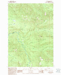
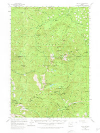
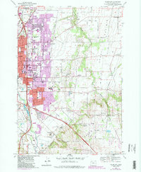
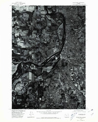
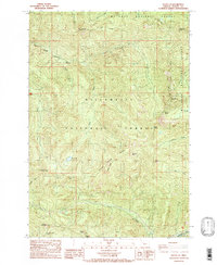
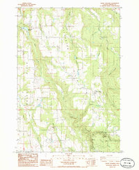
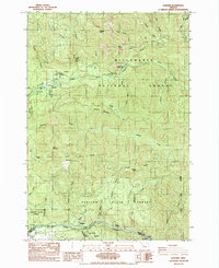
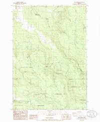
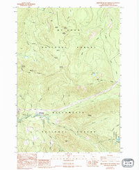
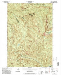
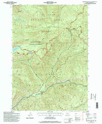
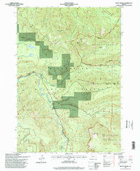
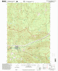
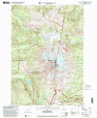
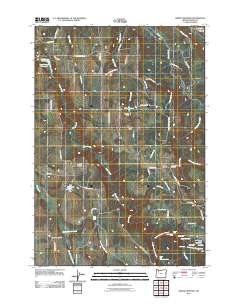
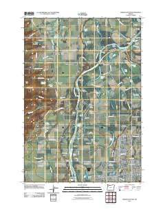
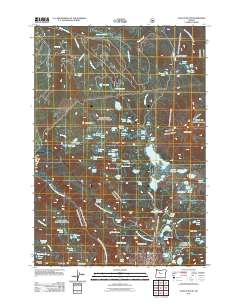
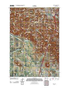
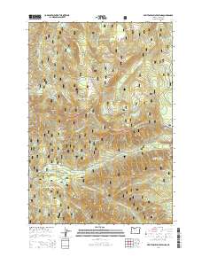
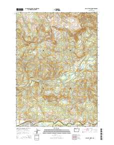
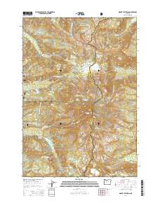
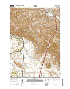
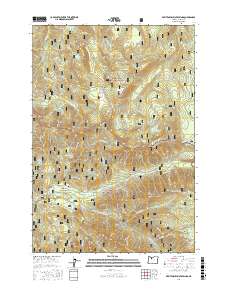
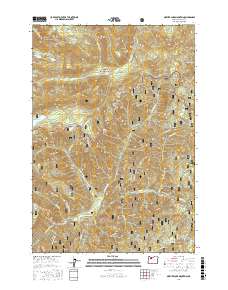
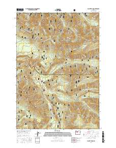
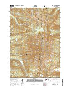
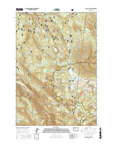
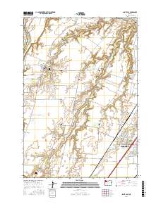
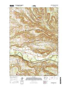
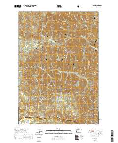
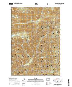
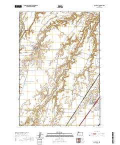
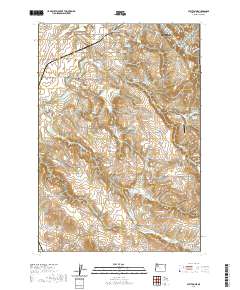
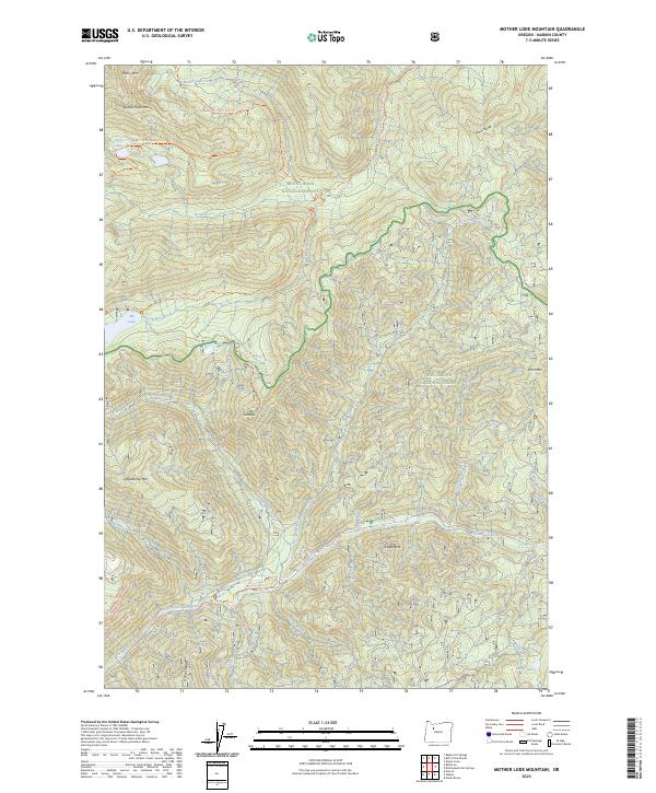
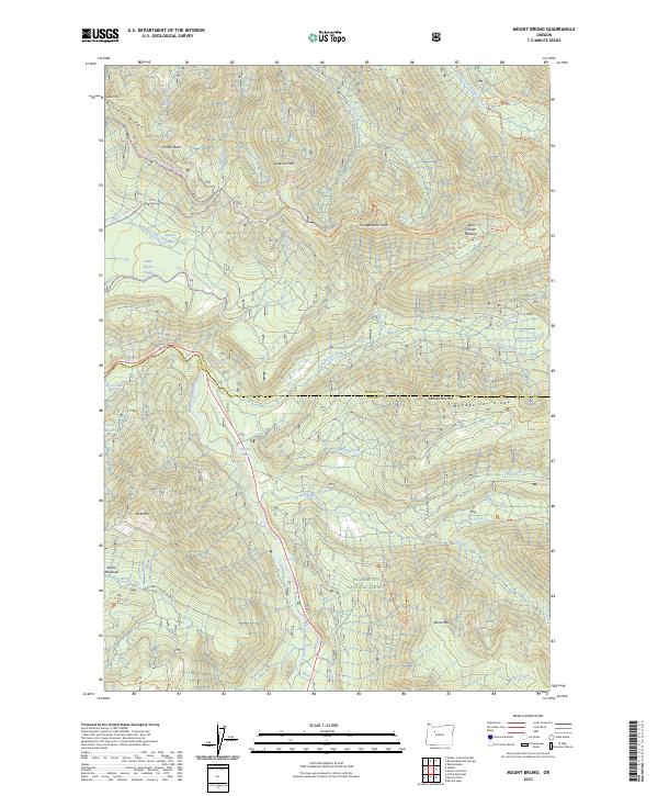
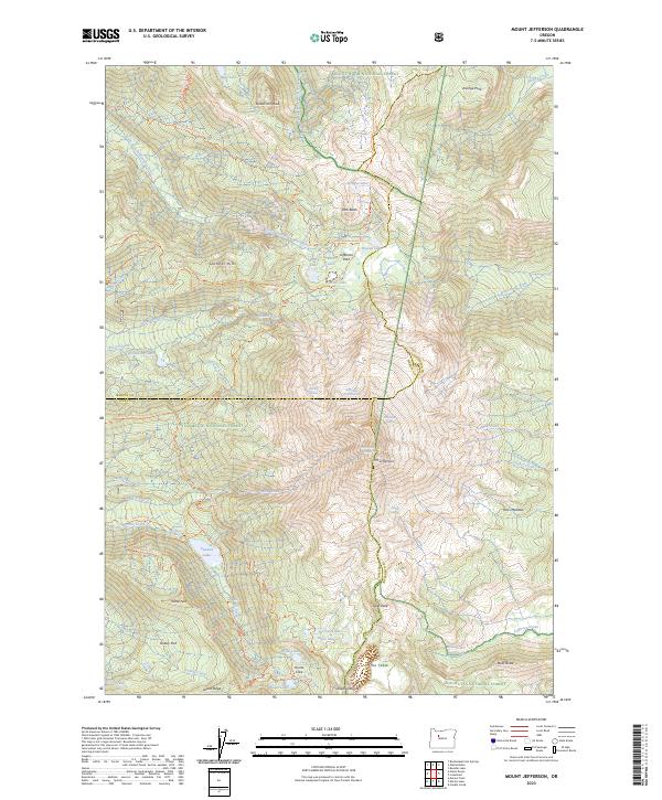
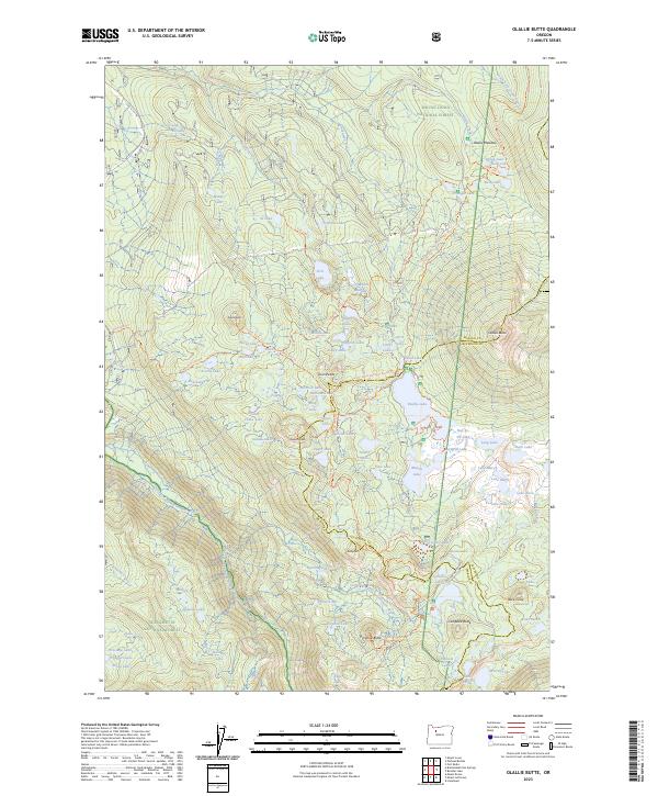
1988 Map of Mt. Bruno
USGS Topo · Published 1988About this map
North Santiam River flows through this 1988 survey, which documents the transition between managed forest land and high-country wilderness in the Oregon Cascades. The map shows the intersection of the Willamette National Forest and the Mt Jefferson Wilderness, with the boundary line cutting through high peaks and drainages. The landscape is characterized by a network of creeks like Whitewater Creek and Pamelia Creek that feed into the main river valley.
Find a feature on this map
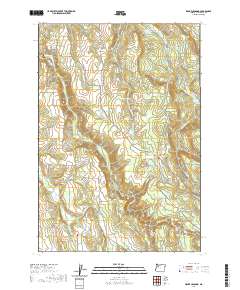
48 named features on this map. Tap any name to fly to it.
Don’t see what you’re looking for? This feature index may not catch every label — zoom into the map to look around manually.
Map Details
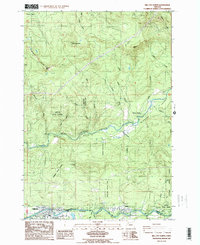
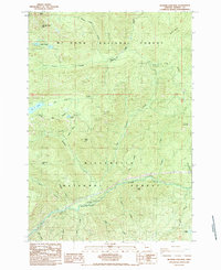
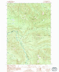
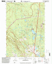
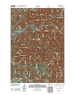
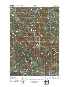
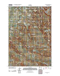
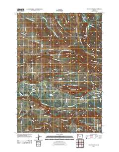
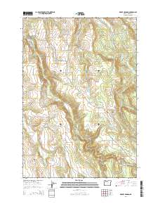
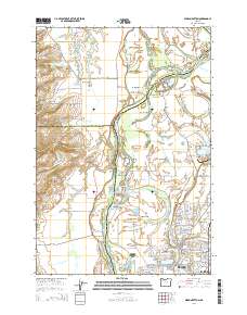
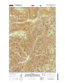
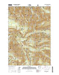
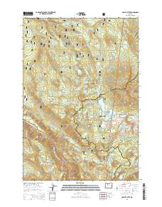
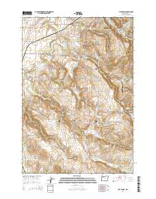
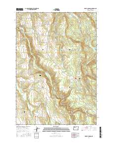
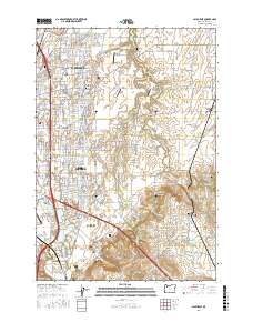
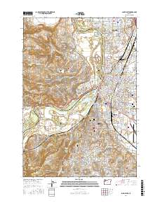
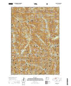
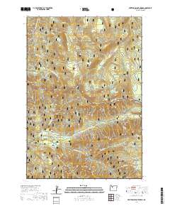
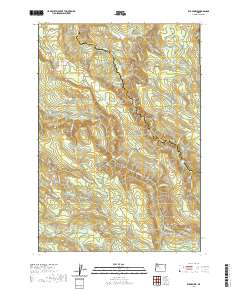
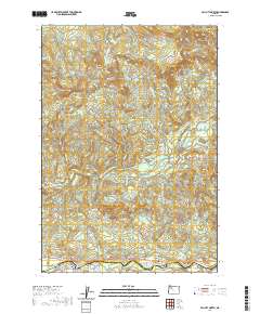
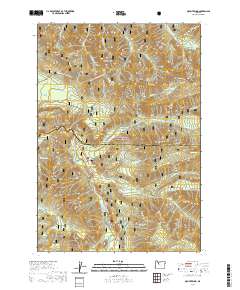
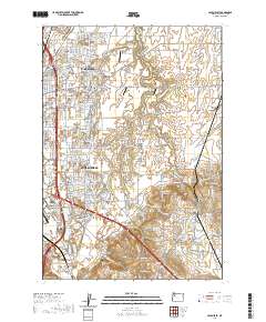
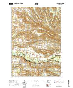
Editions of this 1988 Mt. Bruno Map
2 editions found
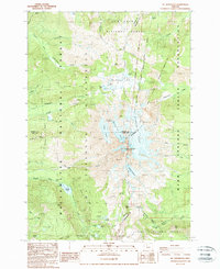
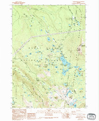
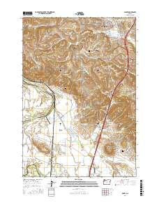
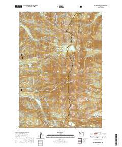
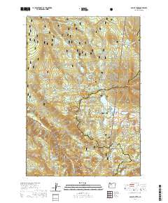
Historical Maps of Marion County Through Time
113 maps found

1915 Sidney
Marion County, OR
1956 Battle Ax
Marion County, OR
1957 Mission Bottom
Marion County, OR
1961 Breitenbush Hot Springs
Marion County, OR
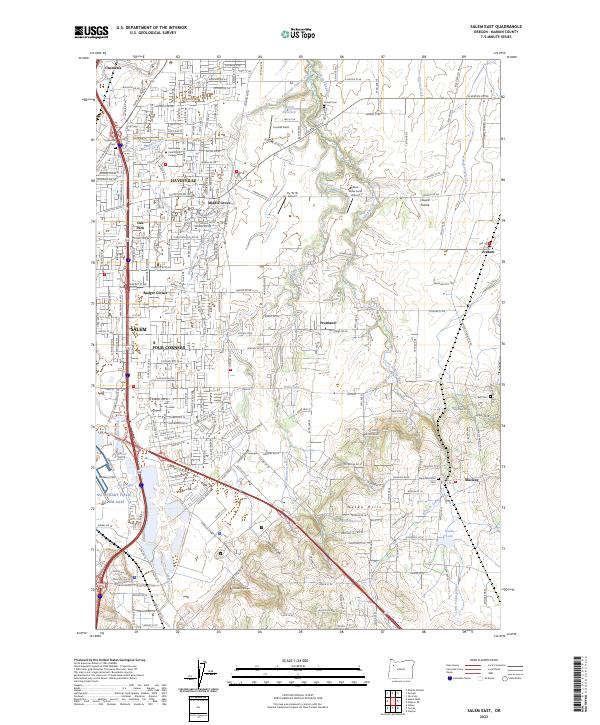
1969 Salem East
Marion County, OR
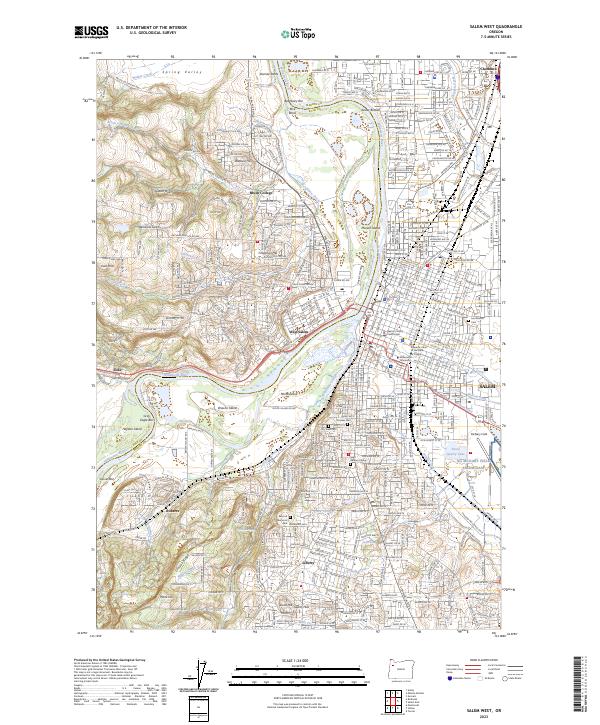
1969 Salem West
Marion County, OR
1969 Stayton NE
Marion County, OR
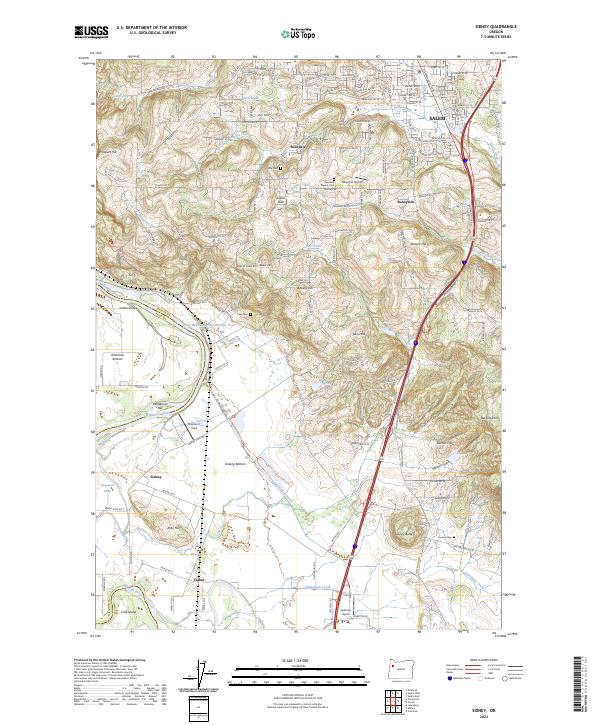
1970 Sidney
Marion County, OR
1975 Salem West
Marion County, OR
1985 Battle Ax
Marion County, OR
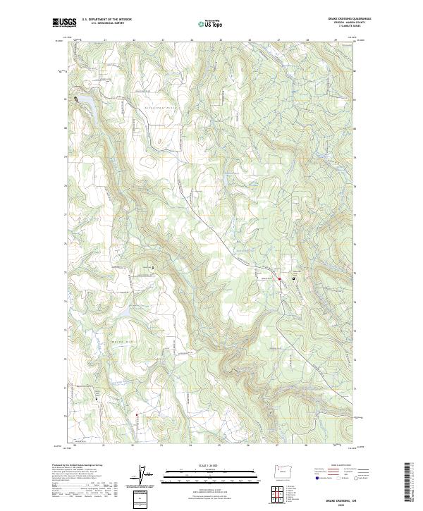
1985 Drake Crossing
Marion County, OR
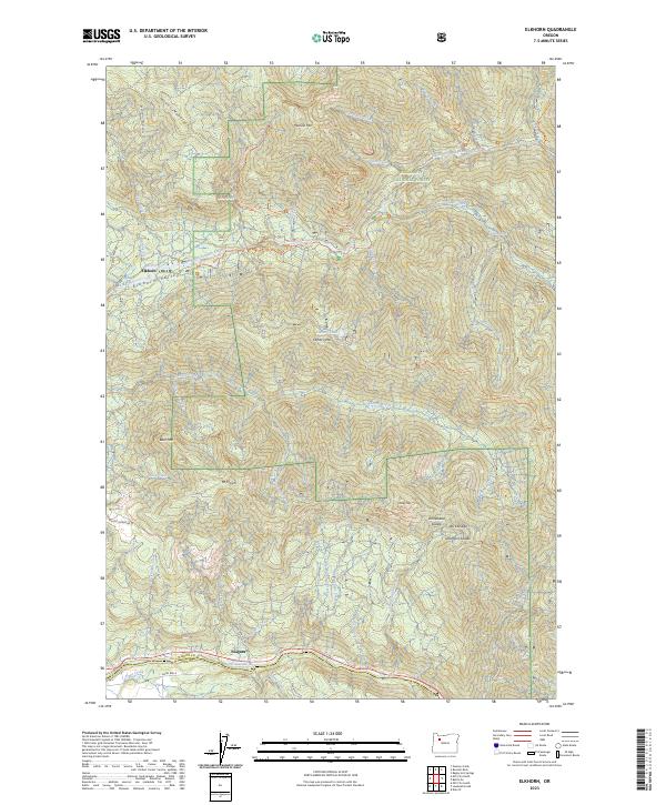
1985 Elkhorn
Marion County, OR
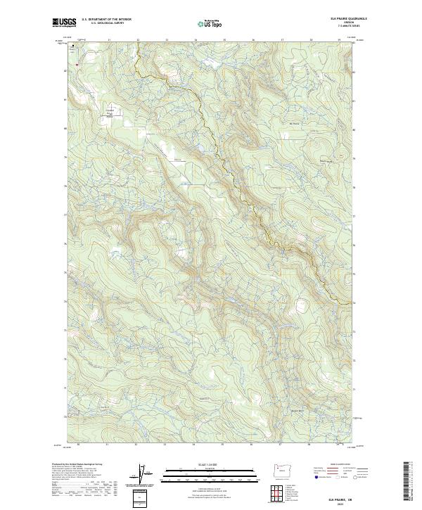
1985 Elk Prairie
Marion County, OR
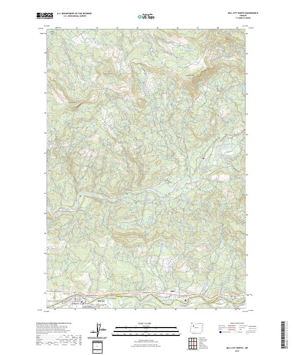
1985 Mill City North
Marion County, OR
1985 Mother Lode Mtn
Marion County, OR
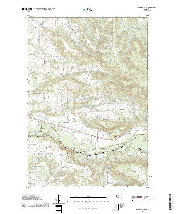
1985 Stout Mountain
Marion County, OR
1988 Breitenbush Hot Springs
Marion County, OR
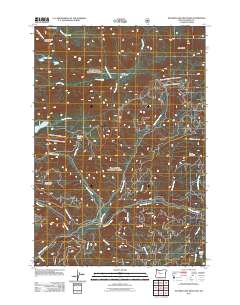
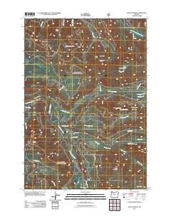
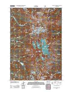
1988 Mt. Bruno
Marion County, OR
1988 Mt. Jefferson
Marion County, OR
1988 Olallie Butte
Marion County, OR
1994 Battle Ax
Marion County, OR

1994 Elkhorn
Marion County, OR
1994 Mother Lode Mtn
Marion County, OR
1994 Mount Bruno
Marion County, OR
1997 Breitenbush Hot Springs
Marion County, OR
1997 Mount Jefferson
Marion County, OR
1997 Olallie Butte
Marion County, OR
2011 Battle Ax
Marion County, OR
2011 Breitenbush Hot Springs
Marion County, OR
2011 Drake Crossing
Marion County, OR
2011 Elkhorn
Marion County, OR
2011 Elk Prairie
Marion County, OR
2011 Mill City North
Marion County, OR
2011 Mission Bottom
Marion County, OR
2011 Mother Lode Mountain
Marion County, OR
2011 Mount Bruno
Marion County, OR
2011 Mount Jefferson
Marion County, OR
2011 Olallie Butte
Marion County, OR
2011 Saint Paul
Marion County, OR
2011 Salem East
Marion County, OR
2011 Salem West
Marion County, OR
2011 Sidney
Marion County, OR
2011 Stayton NE
Marion County, OR
2011 Stout Mountain
Marion County, OR
2014 Battle Ax
Marion County, OR
2014 Breitenbush Hot Springs
Marion County, OR
2014 Drake Crossing
Marion County, OR
2014 Elkhorn
Marion County, OR
2014 Elk Prairie
Marion County, OR
2014 Mill City North
Marion County, OR
2014 Mission Bottom
Marion County, OR
2014 Mother Lode Mountain
Marion County, OR
2014 Mount Bruno
Marion County, OR
2014 Mount Jefferson
Marion County, OR
2014 Olallie Butte
Marion County, OR
2014 Saint Paul
Marion County, OR

2014 Salem East
Marion County, OR
2014 Salem West
Marion County, OR
2014 Sidney
Marion County, OR
2014 Stayton NE
Marion County, OR
2014 Stout Mountain
Marion County, OR
2017 Battle Ax
Marion County, OR
2017 Breitenbush Hot Springs
Marion County, OR
2017 Drake Crossing
Marion County, OR

2017 Elkhorn
Marion County, OR

2017 Elk Prairie
Marion County, OR
2017 Mill City North
Marion County, OR
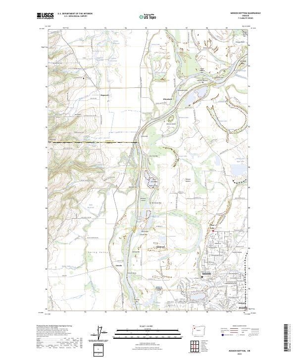
2017 Mission Bottom
Marion County, OR
2017 Mother Lode Mountain
Marion County, OR
2017 Mount Bruno
Marion County, OR
2017 Mount Jefferson
Marion County, OR
2017 Olallie Butte
Marion County, OR
2017 Saint Paul
Marion County, OR
2017 Salem East
Marion County, OR
2017 Salem West
Marion County, OR
2017 Sidney
Marion County, OR

2017 Stayton NE
Marion County, OR
2017 Stout Mountain
Marion County, OR
2020 Battle Ax
Marion County, OR
2020 Breitenbush Hot Springs
Marion County, OR
2020 Drake Crossing
Marion County, OR
2020 Elkhorn
Marion County, OR
2020 Elk Prairie
Marion County, OR
2020 Mill City North
Marion County, OR
2020 Mission Bottom
Marion County, OR
2020 Mother Lode Mountain
Marion County, OR
2020 Mount Bruno
Marion County, OR
2020 Mount Jefferson
Marion County, OR
2020 Olallie Butte
Marion County, OR
2020 Saint Paul
Marion County, OR
2020 Salem East
Marion County, OR
2020 Salem West
Marion County, OR
2020 Sidney
Marion County, OR
2020 Stayton NE
Marion County, OR
2020 Stout Mountain
Marion County, OR
2023 Battle Ax
Marion County, OR
2023 Breitenbush Hot Springs
Marion County, OR
2023 Drake Crossing
Marion County, OR
2023 Elkhorn
Marion County, OR
2023 Elk Prairie
Marion County, OR
2023 Mill City North
Marion County, OR
2023 Mother Lode Mountain
Marion County, OR
2023 Mount Bruno
Marion County, OR
2023 Mount Jefferson
Marion County, OR
2023 Olallie Butte
Marion County, OR
2023 Salem East
Marion County, OR
2023 Salem West
Marion County, OR
2023 Sidney
Marion County, OR
2023 Stout Mountain
Marion County, OR
2024 Mission Bottom
Marion County, OR
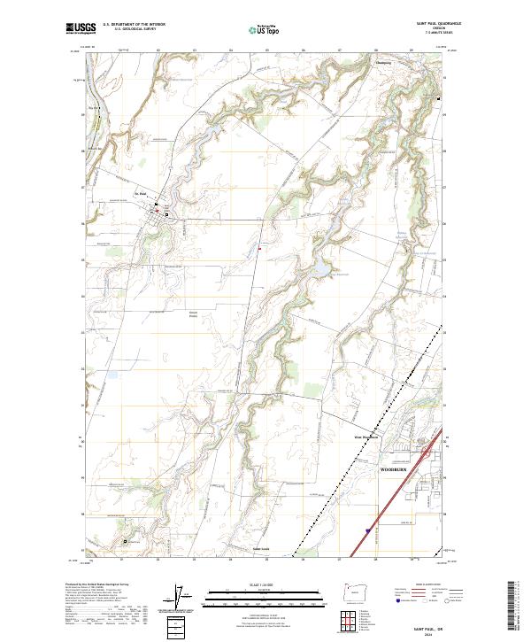
2024 Saint Paul
Marion County, OR
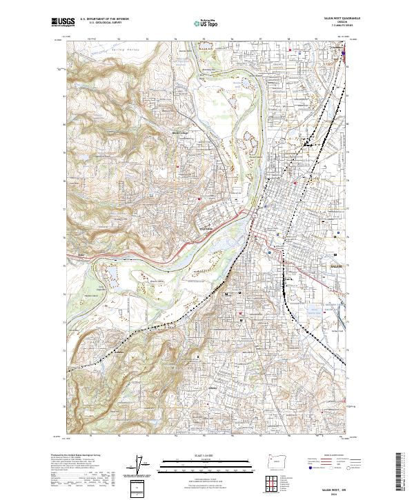
2024 Salem West
Marion County, OR
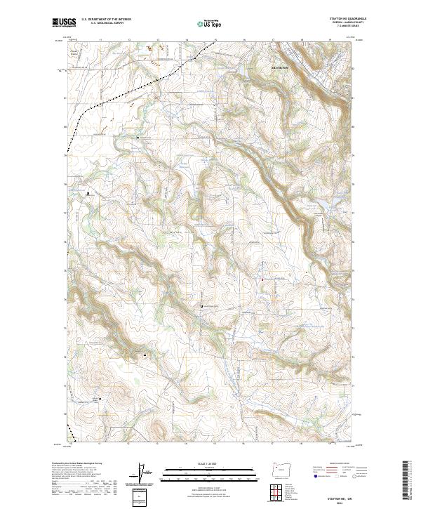
2024 Stayton NE
Marion County, OR