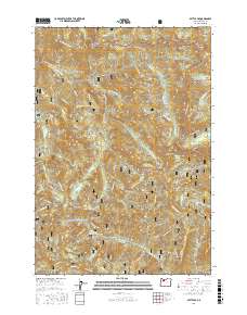
2017 Map of Battle Ax
USGS Topo · Published 2017About this map
Whetstone Mountain and the high ridges of the Cascades dominate this 2017 survey, where the boundaries of the Mount Hood National Forest and Willamette National Forest meet. The landscape is defined by its dramatic geologic features and high-altitude water bodies, including Opal Pool and the Phantom Natural Bridge. Significant peaks like Battle Ax and Mt Beachie anchor the terrain, while the Little North Santiam River and Opal Creek drain the steep drainages. An extensive network of Forest Service development roads, such as Nat For Dev Rd 2209 (Trail), provides access to remote landmarks like Dog Tooth Rock and Silver King Lake. This map serves as a modern record of the preserved wilderness and the complex trail and road systems used to navigate these protected lands.
Find a feature on this map
59 named features on this map. Tap any name to fly to it.
Don’t see what you’re looking for? This feature index may not catch every label — zoom into the map to look around manually.
Map Details
Editions of this 2017 Battle Ax Map
This is the sole edition of this map. No revisions or reprints were ever made.
Other maps of this area

1929 · Mill City
USGS Topo · 1:125,000

1953 · Salem
USGS Topo · 1:250,000

1954 · Salem
USGS Topo · 1:250,000

1955 · Mill City
USGS Topo · 1:62,500

1956 · Quartzville
USGS Topo · 1:62,500

1956 · Battle Ax
USGS Topo · 1:62,500

1956 · Detroit
USGS Topo · 1:62,500

1960 · Salem
USGS Topo · 1:250,000

1962 · Salem
USGS Topo · 1:250,000

1963 · Salem
USGS Topo · 1:250,000