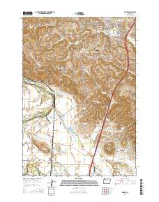
2014 Map of Sidney
USGS Topo · Published 2014About this map
The Willamette River and its expansive floodplains define the western landscape of this 2014 survey south of Salem. The lowlands of Ankeny Bottom and American Bottom show a complex network of water management and irrigation, including the Sidney-Power Ditch and the Sidney Irrigation Ditch Trail. This agricultural character is reinforced by local aviation hubs like Davidson Field Airport and Gilmour Ag Air Airport, which support the farming operations of the mid-valley.
Find a feature on this map
108 named features on this map. Tap any name to fly to it.
Don’t see what you’re looking for? This feature index may not catch every label — zoom into the map to look around manually.
Map Details
Editions of this 2014 Sidney Map
This is the sole edition of this map. No revisions or reprints were ever made.
Other maps of this area

1912 · Jefferson
USGS Topo · 1:31,680

1913 · Wells
USGS Topo · 1:31,680

1914 · Independence
USGS Topo · 1:31,680

1915 · Rickreall
USGS Topo · 1:31,680

1915 · Eola
USGS Topo · 1:31,680

1915 · Sidney
USGS Topo · 1:31,680

1916 · Albany
USGS Topo · 1:62,500

1917 · Salem
USGS Topo · 1:62,500

1921 · Lebanon
USGS Topo · 1:62,500

1922 · Lebanon
USGS Topo · 1:48,000