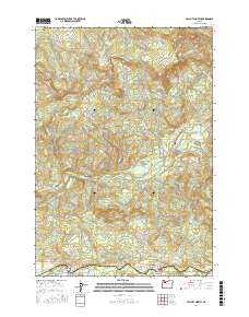
2017 Map of Mill City North
USGS Topo · Published 2017About this map
The North Santiam River serves as the primary corridor for development at the southern edge of this territory, where the communities of Mill City and Gates are established. This 2017 survey details the complex network of local roads such as Gates School Rd and Old Mill City Rd SE that link these settlements along the river's path. Moving north, the landscape rises toward the peaks of Lookout Mtn, House Mtn, and Sweet Spring Mtn, marking a transition from river-bottom settlement to a dense system of canyons and ridges. The Little North Santiam River carves through the central portion of the map, fed by numerous tributaries like Chamberlain Cr and Wonder Cr. In the Elkhorn Valley, the map shows how the topography dictates the placement of infrastructure, with N Fork Rd following the water's course toward Abiqua Basin.
Find a feature on this map
55 named features on this map. Tap any name to fly to it.
Don’t see what you’re looking for? This feature index may not catch every label — zoom into the map to look around manually.
Map Details
Editions of this 2017 Mill City North Map
This is the sole edition of this map. No revisions or reprints were ever made.
Other maps of this area

1929 · Mill City
USGS Topo · 1:125,000

1951 · Lyons
USGS Topo · 1:62,500

1951 · Snow Peak
USGS Topo · 1:62,500

1953 · Salem
USGS Topo · 1:250,000

1954 · Salem
USGS Topo · 1:250,000

1955 · Mill City
USGS Topo · 1:62,500

1956 · Quartzville
USGS Topo · 1:62,500

1960 · Salem
USGS Topo · 1:250,000

1962 · Salem
USGS Topo · 1:250,000

1963 · Salem
USGS Topo · 1:250,000