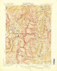
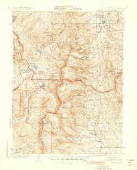
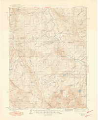
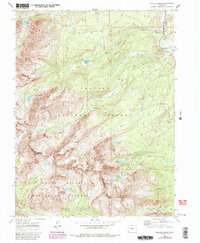
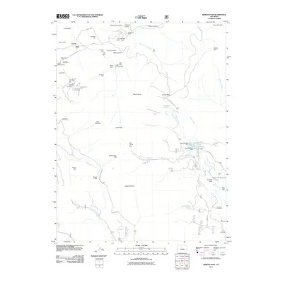
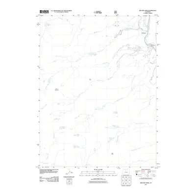
1945 Map of Mt. Lincoln
USGS Topo · Published 1945About this map
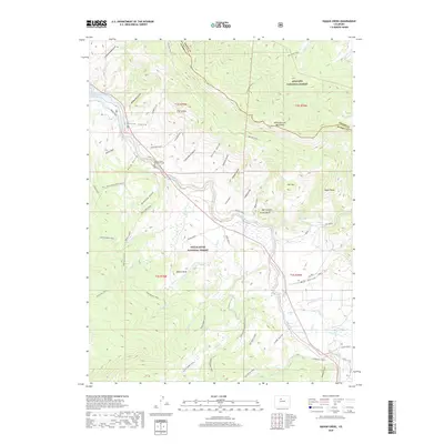
The Continental Divide winds through this high-altitude landscape, marking a divide between the headwaters of the Arkansas River and the Blue River. Centered on the massive peaks of the Mosquito Range, including Mt Lincoln, Mt Democrat, and Mt Bross, the map documents an era of intense mountain industry and high-elevation transit. The high-altitude mining outpost of Climax sits at the summit of Fremont Pass, while the southern end of the sheet shows the settlement of Alma and the mining camp of Mineral Park. To the north, Breckenridge is depicted as a modest hub along the Blue River, connected by roads winding through French Gulch and Indiana Creek. This survey captures the region's complex geography of glaciated gulches and ridges before modern tourism reshaped the valley floors.
Find a feature on this map
119 named features on this map. Tap any name to fly to it.
Don’t see what you’re looking for? This feature index may not catch every label — zoom into the map to look around manually.
Map Details
Editions of this 1945 Mt. Lincoln Map
2 editions found
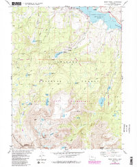
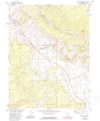
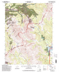
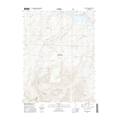
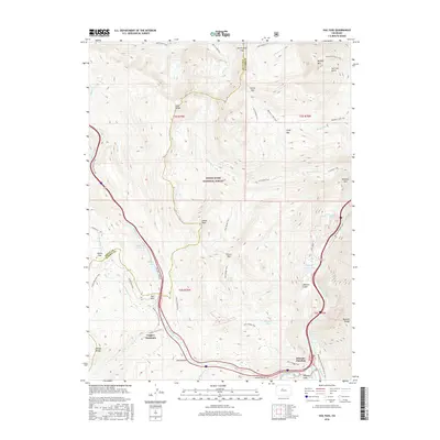
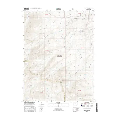
Historical Maps of Breckenridge Through Time
42 maps found
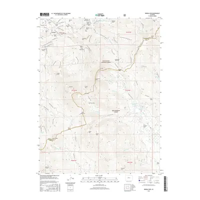
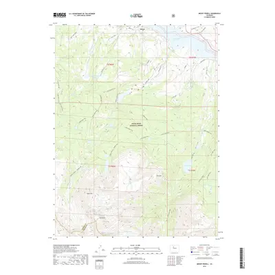
1933 Mount Powell
Summit County, CO

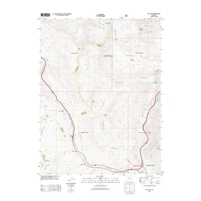
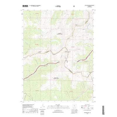
1934 Climax
Summit County, CO
1938 Mount Lincoln
Summit County, CO
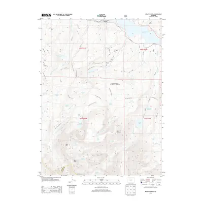
1940 Mount Powell
Summit County, CO
1945 Mt. Lincoln
Summit County, CO
1957 Boreas Pass
Summit County, CO
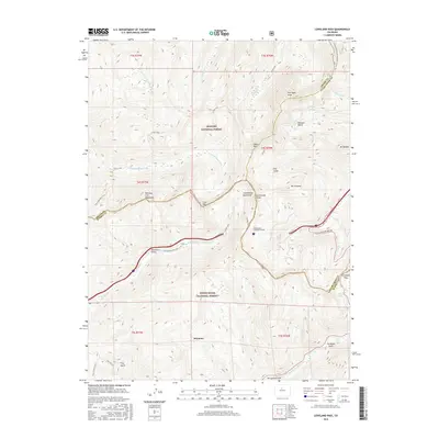
1958 Loveland Pass
Summit County, CO
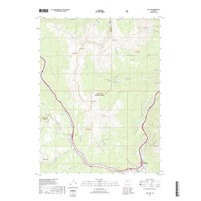
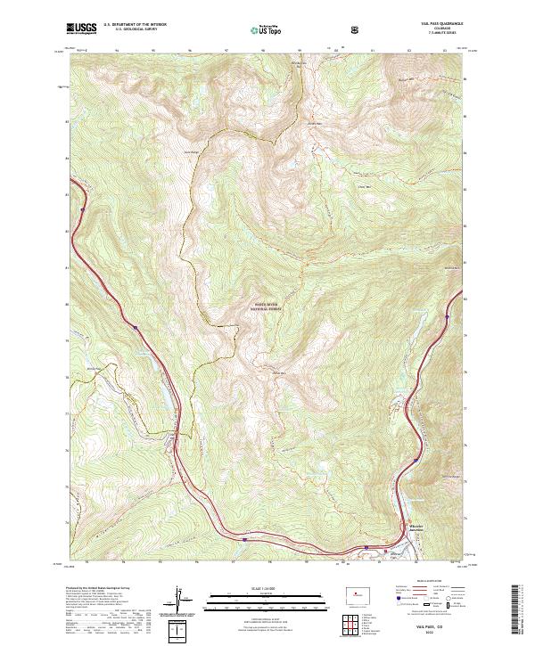
1970 Vail Pass
Summit County, CO
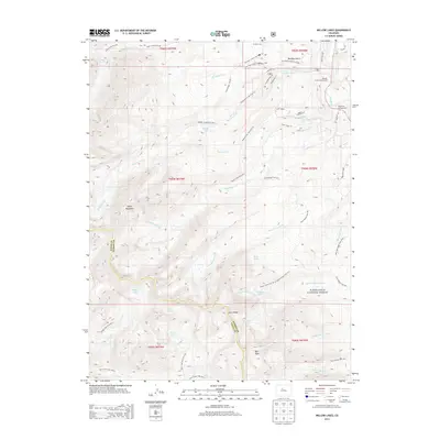
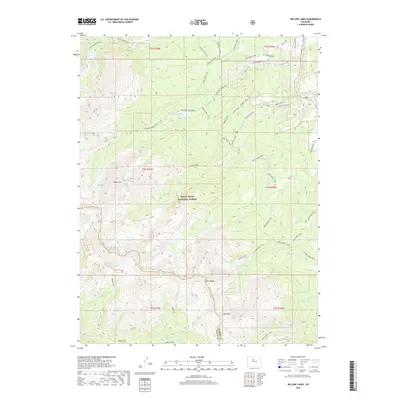
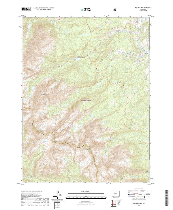
1970 Willow Lakes
Summit County, CO
1980 Mount Powell
Summit County, CO
1980 Squaw Creek
Summit County, CO
1994 Boreas Pass
Summit County, CO
2011 Boreas Pass
Summit County, CO

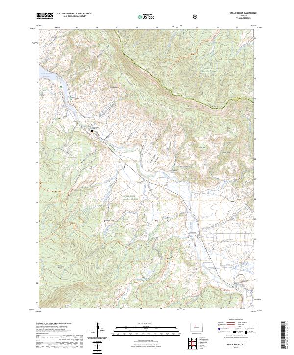
2011 Eagle Roost
Summit County, CO
2011 Loveland Pass
Summit County, CO
2011 Mount Powell
Summit County, CO
2011 Vail Pass
Summit County, CO
2011 Willow Lakes
Summit County, CO
2013 Boreas Pass
Summit County, CO
2013 Eagle Roost
Summit County, CO
2013 Loveland Pass
Summit County, CO
2013 Mount Powell
Summit County, CO
2013 Vail Pass
Summit County, CO
2013 Willow Lakes
Summit County, CO
2016 Boreas Pass
Summit County, CO

2016 Eagle Roost
Summit County, CO
2016 Loveland Pass
Summit County, CO
2016 Mount Powell
Summit County, CO
2016 Vail Pass
Summit County, CO
2016 Willow Lakes
Summit County, CO

2019 Boreas Pass
Summit County, CO
2019 Eagle Roost
Summit County, CO
2019 Loveland Pass
Summit County, CO
2019 Mount Powell
Summit County, CO
2019 Vail Pass
Summit County, CO
2019 Willow Lakes
Summit County, CO
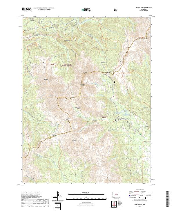
2022 Boreas Pass
Summit County, CO
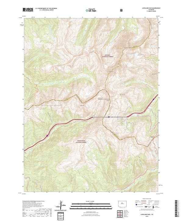
2022 Loveland Pass
Summit County, CO
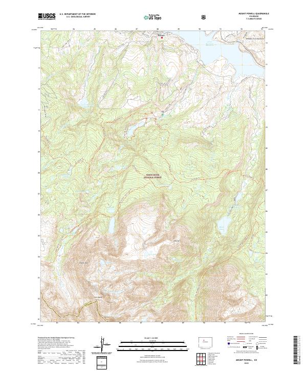
2022 Mount Powell
Summit County, CO
2022 Vail Pass
Summit County, CO
2022 Willow Lakes
Summit County, CO
2023 Eagle Roost
Summit County, CO