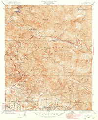
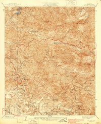
1939 Map of Mt. Lowe
USGS Topo · Published 1939About this map
San Gabriel Mountains recreation and infrastructure are the focus of this 1930s survey, detailing a landscape of rugged canyons and early mountain tourism. The iconic Mount Lowe Incline Cable Railway and the Pacific Electric RR (Scenic Line) provide a clear view of how travelers reached the high peaks, terminating at the Mt Lowe Tavern. Lower elevations show the residential fringe of Alta Loma Drive and the La Vina Sanatorium, while the interior is dotted with remote outposts like Switzers Camp and Oakwilde.
Find a feature on this map
46 named features on this map. Tap any name to fly to it.
Don’t see what you’re looking for? This feature index may not catch every label — zoom into the map to look around manually.
Map Details
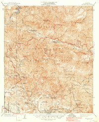
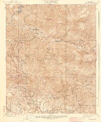
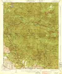
Editions of this 1939 Mt. Lowe Map
5 editions found
Other maps of this area

1894 · Los Angeles
USGS Topo · 1:62,500

1896 · Pasadena
USGS Topo · 1:62,500

1900 · Pasadena
USGS Topo · 1:62,500

1900 · Tujunga
USGS Topo · 1:62,500

1900 · Los Angeles
USGS Topo · 1:62,500

1901 · Southern California Sheet No. 1
USGS Topo · 1:250,000

1904 · Southern California Sheet No. 1
USGS Topo · 1:250,000
1928 · Altadena
USGS Topo · 1:24,000
1928 · La Crescenta
USGS Topo · 1:24,000
1928 · Sierra Madre
USGS Topo · 1:24,000