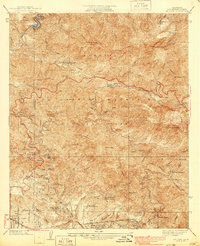
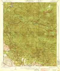
1939 Map of Mt. Lowe
USGS Topo · Published 1939About this map
The San Gabriel Mountains rise sharply in this 1930s survey, documenting a period of intense recreational development within the Angeles National Forest. A primary focus of the sheet is the elaborate infrastructure on Mt Lowe and Echo Mountain, where the Cable Incline and Scenic RR once carried visitors to the famed Mt Lowe Tavern. This early-century alpine tourist destination is preserved here alongside the Angeles Crest Highway, then a critical new artery through the high country.
Find a feature on this map
50 named features on this map. Tap any name to fly to it.
Don’t see what you’re looking for? This feature index may not catch every label — zoom into the map to look around manually.
Map Details
Editions of this 1939 Mt. Lowe Map
5 editions found
Other maps of this area

1894 · Los Angeles
USGS Topo · 1:62,500

1896 · Pasadena
USGS Topo · 1:62,500

1900 · Pasadena
USGS Topo · 1:62,500

1900 · Tujunga
USGS Topo · 1:62,500

1900 · Los Angeles
USGS Topo · 1:62,500

1901 · Southern California Sheet No. 1
USGS Topo · 1:250,000

1904 · Southern California Sheet No. 1
USGS Topo · 1:250,000
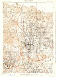
1928 · Altadena
USGS Topo · 1:24,000
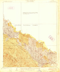
1928 · La Crescenta
USGS Topo · 1:24,000
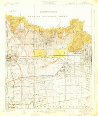
1928 · Sierra Madre
USGS Topo · 1:24,000