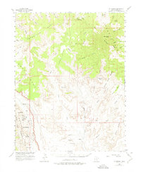
1953 Map of Mt Pennell
USGS Topo · Published 1975About this map
Mt Pennell stands as the central landmark of the Henry Mountains on this 1950s survey, surrounded by a dramatic sequence of high mesas and deep drainages. The western portion of the map is dominated by the Waterpocket Fold, a massive monocline that defines the boundary of Capital Reef National Park. This geologic feature shapes the local topography, creating the Grand Gulch and the distinctive cliffs of Tarantula Mesa.
Find a feature on this map
52 named features on this map. Tap any name to fly to it.
Don’t see what you’re looking for? This feature index may not catch every label — zoom into the map to look around manually.
Map Details
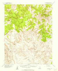
Editions of this 1953 Mt Pennell Map
3 editions found

Other maps of this area

1885 · San Rafael
USGS Topo · 1:250,000

1885 · Fish Lake
USGS Topo · 1:250,000

1886 · Escalante
USGS Topo · 1:250,000

1886 · Henry Mountains
USGS Topo · 1:250,000

1892 · Henry Mountains
USGS Topo · 1:250,000

1896 · Fish Lake
USGS Topo · 1:250,000

1952 · Mt Pennell 1 SW
USGS Topo · 1:24,000

1952 · Notom 4 SE
USGS Topo · 1:24,000

1952 · Mount Ellen 4 SW
USGS Topo · 1:24,000

1952 · Mt Pennell 2 NE
USGS Topo · 1:24,000