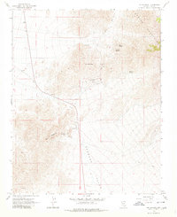
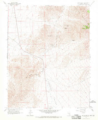
1968 Map of Mt. Schader
USGS Topo · Published 1980About this map
Mining operations and ancient cultural sites mark this transition from the Spring Mountains into the Pahrump Valley. The small settlement of Johnnie serves as a hub for local industry, surrounded by the Johnnie Mine, Labbe Mine, and Congress Mine. This area of the desert reveals a history of both labor and ritual, with a lonely Grave recorded near the valley floor and prehistoric Petroglyphs situated on the slopes of Mt Schader to the north. These features suggest a landscape that has supported human activity across disparate eras. Water is the defining constraint here, concentrated at high-elevation seeps like Diebert Spring, Kwichup Spring, and Grapevine Springs. Multiple Prospects and Borrow Pits are scattered along the terrain, while a network of Jeep Trails provides the primary means of navigating the arid slopes between Mount Montgomery and the valley below.
Find a feature on this map
26 named features on this map. Tap any name to fly to it.
Don’t see what you’re looking for? This feature index may not catch every label — zoom into the map to look around manually.
Map Details
Editions of this 1968 Mt. Schader Map
2 editions found
Other maps of this area

1907 · Las Vegas
USGS Topo · 1:250,000

1908 · Furnace Creek
USGS Topo · 1:250,000

1908 · Las Vegas
USGS Topo · 1:250,000

1910 · Furnace Creek
USGS Topo · 1:250,000

1942 · Indian Spring
USGS Topo · 1:125,000

1942 · Skull Mountain
USGS Topo · 1:125,000

1948 · Death Valley
USGS Topo · 1:250,000

1952 · Specter Range
USGS Topo · 1:62,500

1952 · Mercury
USGS Topo · 1:62,500

1954 · Las Vegas
USGS Topo · 1:250,000