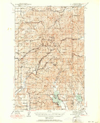
1943 Map of Mt Spokane
USGS Topo · Published 1951About this map
Mount Spokane State Park dominates the landscape of this 1939 survey, capturing the early recreational and industrial life of the Selkirk Mountains before mid-century development. The summit area, featuring Mt Carson and Bald Knob, shows the locations of the Selkirk Ski Club and Spokane Ski Club, signaling the region's emergence as a winter sports destination. To the east, the Idaho border is defined by the waters of Newman Lake and Hauser Lake.
Find a feature on this map
47 named features on this map. Tap any name to fly to it.
Don’t see what you’re looking for? This feature index may not catch every label — zoom into the map to look around manually.
Map Details
Editions of this 1943 Mt Spokane Map
2 editions found
Other maps of this area

1901 · Sandpoint
USGS Topo · 1:125,000

1901 · Spokane
USGS Topo · 1:125,000

1903 · Rathdrum
USGS Topo · 1:125,000

1911 · Priest Lake
USGS Topo · 1:250,000

1911 · Sandpoint
USGS Topo · 1:125,000

1913 · Priest Lake
USGS Topo · 1:250,000

1936 · Newport
USGS Topo · 1:96,000

1942 · Newport
USGS Topo · 1:125,000

1943 · Mt Spokane
USGS Topo · 1:62,500

1949 · Deer Park
USGS Topo · 1:62,500