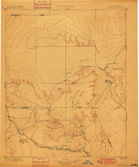
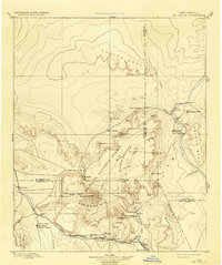
1899 Map of Mt. Taylor
USGS Topo · Published 1899About this map
Mt. Taylor 11389 anchors this late-19th-century reconnaissance of the high desert, rising above the San Mateo Mts and the surrounding volcanic terrain of the Lava Field. The region's transport network is defined by the Santa Fe Pacific Railroad and the Rio San Jose corridor, which connects a string of early settlements including Grant, Cubero, and Laguna. To the north, the landscape is punctuated by massive landforms like Chacra Mesa and the sharp profile of Cabezon Peak.
Find a feature on this map
46 named features on this map. Tap any name to fly to it.
Don’t see what you’re looking for? This feature index may not catch every label — zoom into the map to look around manually.
Map Details
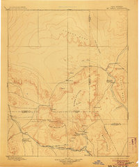
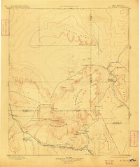
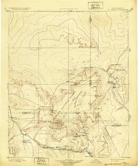
Editions of this 1899 Mt. Taylor Map
5 editions found
Other maps of this area
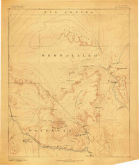
1883 · Mt. Taylor
USGS Topo · 1:250,000
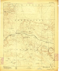
1886 · Wingate
USGS Topo · 1:250,000
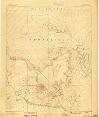
1886 · Mt. Taylor
USGS Topo · 1:250,000
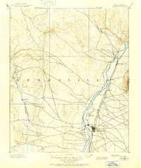
1888 · Bernalillo
USGS Topo · 1:125,000
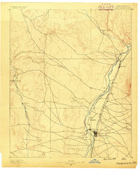
1889 · Albuquerque
USGS Topo · 1:125,000
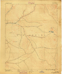
1889 · Largo
USGS Topo · 1:250,000
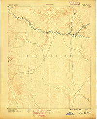
1889 · Chaco
USGS Topo · 1:250,000
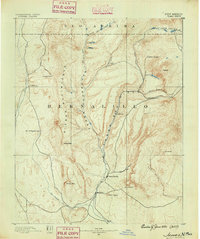
1890 · Jemes
USGS Topo · 1:125,000
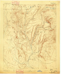
1892 · Jemes
USGS Topo · 1:125,000
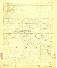
1892 · Wingate
USGS Topo · 1:250,000