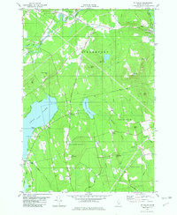
1982 Map of Mt Waldo
USGS Topo · Published 1982About this map
Mt Waldo and the surrounding highlands of Waldo County define this landscape as it appeared in the late 1970s. The region is characterized by a network of drainage systems, including Marsh Stream and Main Stream, which cut through the varied topography of Downs Hill and Mt Ephraim. The map documents the rural settlement patterns of the era, centered around small communities like West Winterport and Frankfort.
Find a feature on this map
51 named features on this map. Tap any name to fly to it.
Don’t see what you’re looking for? This feature index may not catch every label — zoom into the map to look around manually.
Map Details
Editions of this 1982 Mt Waldo Map
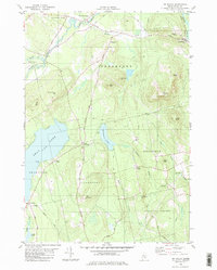
2 editions found
Other maps of this area

1900 · Bucksport
USGS Topo · 1:62,500

1902 · Bucksport
USGS Topo · 1:62,500

1902 · Castine
USGS Topo · 1:62,500

1904 · Castine
USGS Topo · 1:62,500

1905 · Penobscot Bay
USGS Topo · 1:125,000

1915 · Belfast
USGS Topo · 1:62,500

1917 · Belfast
USGS Topo · 1:62,500

1932 · Brooks
USGS Topo · 1:62,500

1941 · Belfast
USGS Topo · 1:62,500

1941 · Castine
USGS Topo · 1:62,500