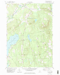
1982 Map of Mt Waldo
USGS Topo · Published 1982About this map
Marsh Stream winds through the northern reaches of this coastal Maine landscape, connecting the village of Frankfort to the surrounding hills and farmland. During this era, the region maintained a balance between small-town settlement and industrial activity, evidenced by the prominent Quarry situated on the eastern slopes of Mt Waldo. This granite-rich terrain defined the local economy and physical geography, with multiple peaks like Dutch Mtn and Mack Mtn rising above the watershed. To the southwest, the expansive waters of Swan Lake meet the shoreline at Spruce Point, where the small cluster at Dodge Corner marks the transition into the interior woods. Genealogists can trace family footprints through various burial grounds including Wiswell Cem and Nickerson Cem, or locate historic local hubs such as Frankfort Sch and the settlement of North Searsport.
Find a feature on this map
48 named features on this map. Tap any name to fly to it.
Don’t see what you’re looking for? This feature index may not catch every label — zoom into the map to look around manually.
Map Details
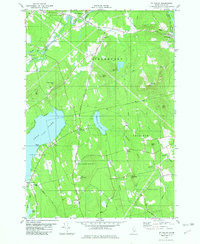
Editions of this 1982 Mt Waldo Map
2 editions found
Other maps of this area

1900 · Bucksport
USGS Topo · 1:62,500

1902 · Bucksport
USGS Topo · 1:62,500

1902 · Castine
USGS Topo · 1:62,500

1904 · Castine
USGS Topo · 1:62,500

1905 · Penobscot Bay
USGS Topo · 1:125,000

1915 · Belfast
USGS Topo · 1:62,500

1917 · Belfast
USGS Topo · 1:62,500

1932 · Brooks
USGS Topo · 1:62,500

1941 · Belfast
USGS Topo · 1:62,500

1941 · Castine
USGS Topo · 1:62,500